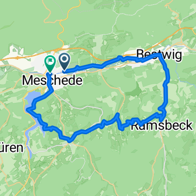
Klosterberg Meschede und Henneseerundweg
- 46.6 km
- 738 m
- 764 m
- Meschede, North Rhine-Westphalia, Germany
A cycling route starting in Meschede, North Rhine-Westphalia, Germany.
Overview
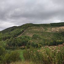
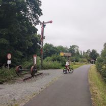
A partially challenging route consisting of trails over narrow footpaths with roots, streams, stairs, etc. It starts from the motorway bridge at Schützenhaus Meschede-Nord. First, the ascent via hiking route M9 up to Ensterknick. From there, continue towards Hirschberg. After crossing the stream, turn right and follow the Sauerländer Waldroute (green W). Along the way, you'll pass the 'Kohlenmeiler'. Here, the route continues straight through the undergrowth following the forest route towards a staircase. This can only be taken on foot as it is too steep to ride. Afterwards, follow hiking trail Z partly over mossy forest paths or difficult-to-ride ruts caused by forest machinery. From the TV tower at StimmStamm, follow route M1 which partly leads over leaves and fallen trees. Towards the end, you return to the starting point at the motorway bridge.
created this 11 years ago
Route highlights
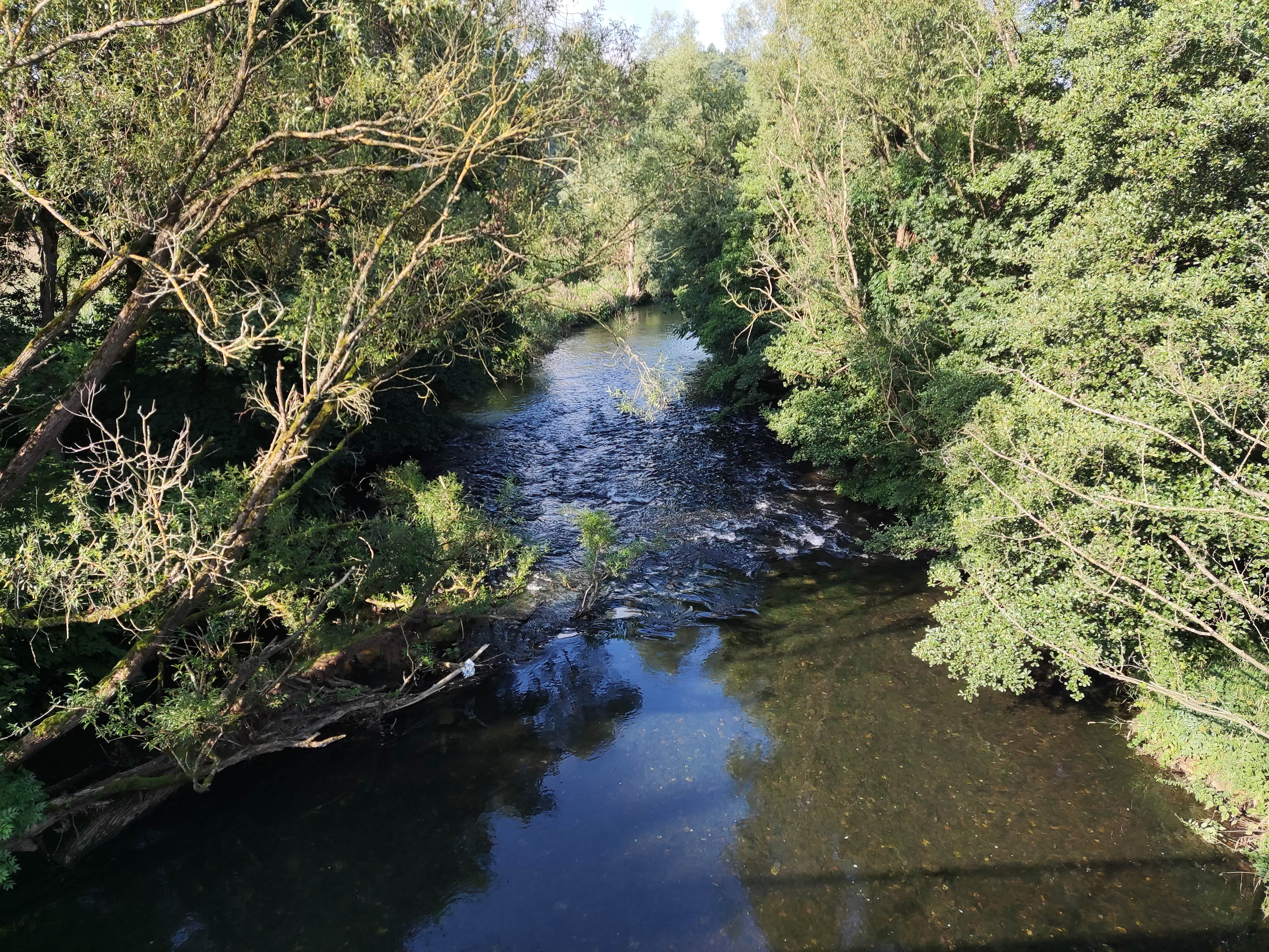
Bachdurchquerung (für Anfänger gibts auch ne Brücke :D )
steile Treppe hoch
\"")
Hier ging dann zu Fuß und erst Recht mit dem Bike nichts mehr. Unpassierbarer Sumpf aus Holzschnitt, Wasser und Lehm.
\"")
Hier habe ich mich etwas verfahren. Die Strecke wurde gegen Ende doch extrem krass.
Continue with Bikemap
You would like to ride Meschede - Hirschberg und zurück (Off-Road) or customize it for your own trip? Here is what you can do with this Bikemap route:
Free trial for 3 days, or one-time payment. More about Bikemap Premium.
Discover more Premium features.
Get Bikemap PremiumFrom our community
Open it in the app