Guanajuato (San Javier)-Santa Rosa por San Nicolas rumbo al Cubo
- 43 km
- 976 m
- 976 m
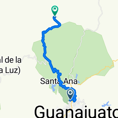
- Guanajuato City, Guanajuato, Mexico
A cycling route starting in Guanajuato City, Guanajuato, Mexico.
Overview
Dirt road from La Presa de la Olla in Guanajuato to the center of San Miguel, climbing up via the El Cubo mine.
created this 11 years ago
Route quality
Quiet road
14.9 km
(20 %)
Track
14.9 km
(20 %)
Paved
7.5 km
(10 %)
Unpaved
17.1 km
(23 %)
Ground
17.1 km
(23 %)
Asphalt
7.5 km
(10 %)
Undefined
49.9 km
(67 %)
Continue with Bikemap
You would like to ride Guanajuato-El Cubo-Sn. Miguel- or customize it for your own trip? Here is what you can do with this Bikemap route:
Free trial for 3 days, or one-time payment. More about Bikemap Premium.
Discover more Premium features.
Get Bikemap PremiumFrom our community
Open it in the app