Rund um Raesfeld
- 24.7 km
- 54 m
- 52 m
- Raesfeld, North Rhine-Westphalia, Germany
A cycling route starting in Raesfeld, North Rhine-Westphalia, Germany.
Overview
Start (and finish) at the Silvsterstraße sports hall in Raesfeld-Erle. Then head south towards Schermbeck. From Schermbeck west towards Mahlberg. Passing Voshövel on the way to Marienthal. Continue towards the holiday home settlement, passing south of Raesfeld Castle back to Erle.
created this 11 years ago
Route quality
Quiet road
30.9 km
(85 %)
Track
2.5 km
(7 %)
Paved
20 km
(55 %)
Unpaved
2.5 km
(7 %)
Asphalt
19.6 km
(54 %)
Gravel
1.5 km
(4 %)
Route highlights

Start und Ziel

Gemeinschaftsgrundschule Schermbeck

An der Windmühle

Haus Voshövel

Issel

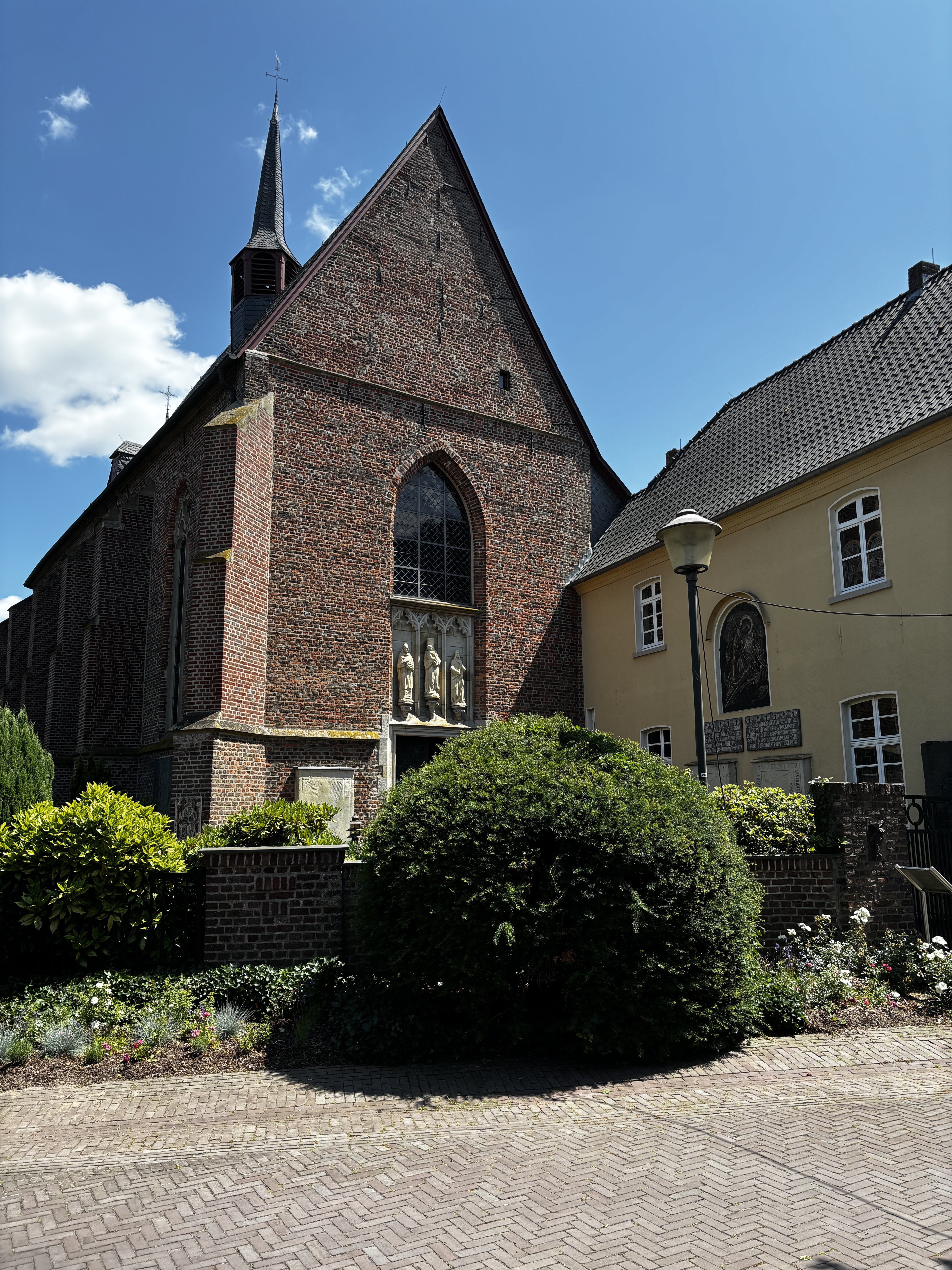
Kloster Marienthal

Alte 220kV-Leitung

Das Ziel ist nah

St. Silvester
Continue with Bikemap
You would like to ride Radwandertag Raesfeld 2014 or customize it for your own trip? Here is what you can do with this Bikemap route:
Free trial for 3 days, or one-time payment. More about Bikemap Premium.
Discover more Premium features.
Get Bikemap PremiumFrom our community
Open it in the app