

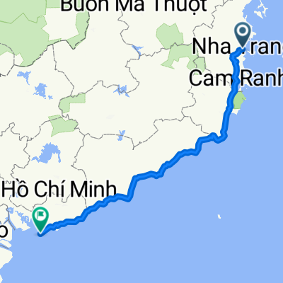
Hòn Chồng Bãi Dài
A cycling route starting in Nha Trang, Khánh Hòa Province, Vietnam.
Overview
About this route
Rất ngoạn mục
- -:--
- Duration
- 36.2 km
- Distance
- 210 m
- Ascent
- 211 m
- Descent
- ---
- Avg. speed
- ---
- Max. altitude
vuhuuquang
created this 12 years ago
Continue with Bikemap
Use, edit, or download this cycling route
You would like to ride Hòn Chồng Bãi Dài or customize it for your own trip? Here is what you can do with this Bikemap route:
Free features
- Save this route as favorite or in collections
- Copy & plan your own version of this route
- Sync your route with Garmin or Wahoo
Premium features
Free trial for 3 days, or one-time payment. More about Bikemap Premium.
- Navigate this route on iOS & Android
- Export a GPX / KML file of this route
- Create your custom printout (try it for free)
- Download this route for offline navigation
Discover more Premium features.
Get Bikemap PremiumFrom our community
Other popular routes starting in Nha Trang
- Nha trang to Quang ngai
- 629.6 km
- 7,988 m
- 7,985 m
- Nha Trang, Khánh Hòa Province, Vietnam
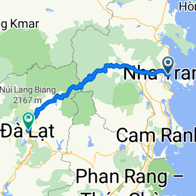
- Le Thanh Ton, Nha Trang to Alley 2 Tran Nhan Tong, Da Lat
- 146.8 km
- 4,822 m
- 3,324 m
- Nha Trang, Khánh Hòa Province, Vietnam
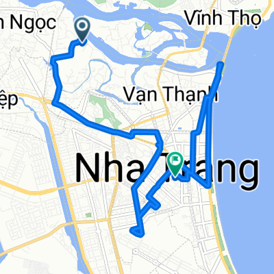
- Võ Thị Sáu, TP. Nha Trang to Võ Thị Sáu, TP. Nha Trang
- 8.6 km
- 124 m
- 126 m
- Nha Trang, Khánh Hòa Province, Vietnam
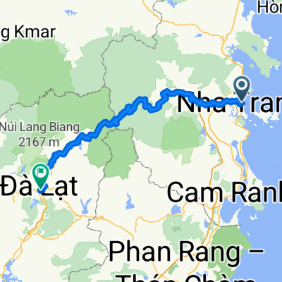
- 58 From Nha Trang to Da Lat
- 167.7 km
- 5,417 m
- 3,921 m
- Nha Trang, Khánh Hòa Province, Vietnam
- hihihi
- 12.8 km
- 189 m
- 179 m
- Nha Trang, Khánh Hòa Province, Vietnam
- Hòn Chồng Bãi Dài
- 36.2 km
- 210 m
- 211 m
- Nha Trang, Khánh Hòa Province, Vietnam
- Vietnam 🇻🇳
- 420.8 km
- 556 m
- 560 m
- Nha Trang, Khánh Hòa Province, Vietnam


Open it in the app