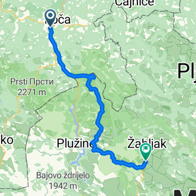
4. Tag Gasthaus Antik Foca- Etno Selo Sljeme
- 88.1 km
- 1,981 m
- 884 m
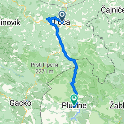
- Foča, Republika Srpska, Bosnia and Herzegovina
A cycling route starting in Foča, Republika Srpska, Bosnia and Herzegovina.
Overview
Anas Weg
created this 11 years ago
Route highlights
Tanjas Versteck
Save Zone
Tanja vs. Relja
Treffen mit Daniel und Marco
Continue with Bikemap
You would like to ride Anas Weg or customize it for your own trip? Here is what you can do with this Bikemap route:
Free trial for 3 days, or one-time payment. More about Bikemap Premium.
Discover more Premium features.
Get Bikemap PremiumFrom our community
Open it in the app