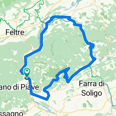
Monte Tomatico + Monte Tomba
A cycling route starting in Quero, Veneto, Italy.
Overview
About this route
Un incredibile percorso fino alla cima Monte Tomatico, salendo prima per una strada asfaltata poi attraverso una lunga mulattiera per finire con un tratto a piedi.
Dopo siamo passati al Monte Tomba con un single Track notevole- -:--
- Duration
- 50.9 km
- Distance
- 1,969 m
- Ascent
- 1,988 m
- Descent
- ---
- Avg. speed
- ---
- Avg. speed
Continue with Bikemap
Use, edit, or download this cycling route
You would like to ride Monte Tomatico + Monte Tomba or customize it for your own trip? Here is what you can do with this Bikemap route:
Free features
- Save this route as favorite or in collections
- Copy & plan your own version of this route
- Sync your route with Garmin or Wahoo
Premium features
Free trial for 3 days, or one-time payment. More about Bikemap Premium.
- Navigate this route on iOS & Android
- Export a GPX / KML file of this route
- Create your custom printout (try it for free)
- Download this route for offline navigation
Discover more Premium features.
Get Bikemap PremiumFrom our community
Other popular routes starting in Quero
- cittadella
- Distance
- 173.6 km
- Ascent
- 1,909 m
- Descent
- 1,909 m
- Location
- Quero, Veneto, Italy
- Giro delle città murate
- Distance
- 99.3 km
- Ascent
- 447 m
- Descent
- 449 m
- Location
- Quero, Veneto, Italy
- GRAPPA, por Fener
- Distance
- 25.4 km
- Ascent
- 1,695 m
- Descent
- 168 m
- Location
- Quero, Veneto, Italy
- TOMBA, por Fener
- Distance
- 8.8 km
- Ascent
- 709 m
- Descent
- 43 m
- Location
- Quero, Veneto, Italy
- Monte Tomatico + Monte Tomba
- Distance
- 50.9 km
- Ascent
- 1,969 m
- Descent
- 1,988 m
- Location
- Quero, Veneto, Italy
- alano - monte grappa
- Distance
- 26.6 km
- Ascent
- 1,698 m
- Descent
- 180 m
- Location
- Quero, Veneto, Italy
- FENER - SEMONZO - CIMA GRAPPA - ROMANO D´AZELINO - FENER
- Distance
- 96 km
- Ascent
- 1,895 m
- Descent
- 1,895 m
- Location
- Quero, Veneto, Italy
- Saturday for medium Quero-Feltre-Alano
- Distance
- 74.3 km
- Ascent
- 1,767 m
- Descent
- 1,769 m
- Location
- Quero, Veneto, Italy
Open it in the app