

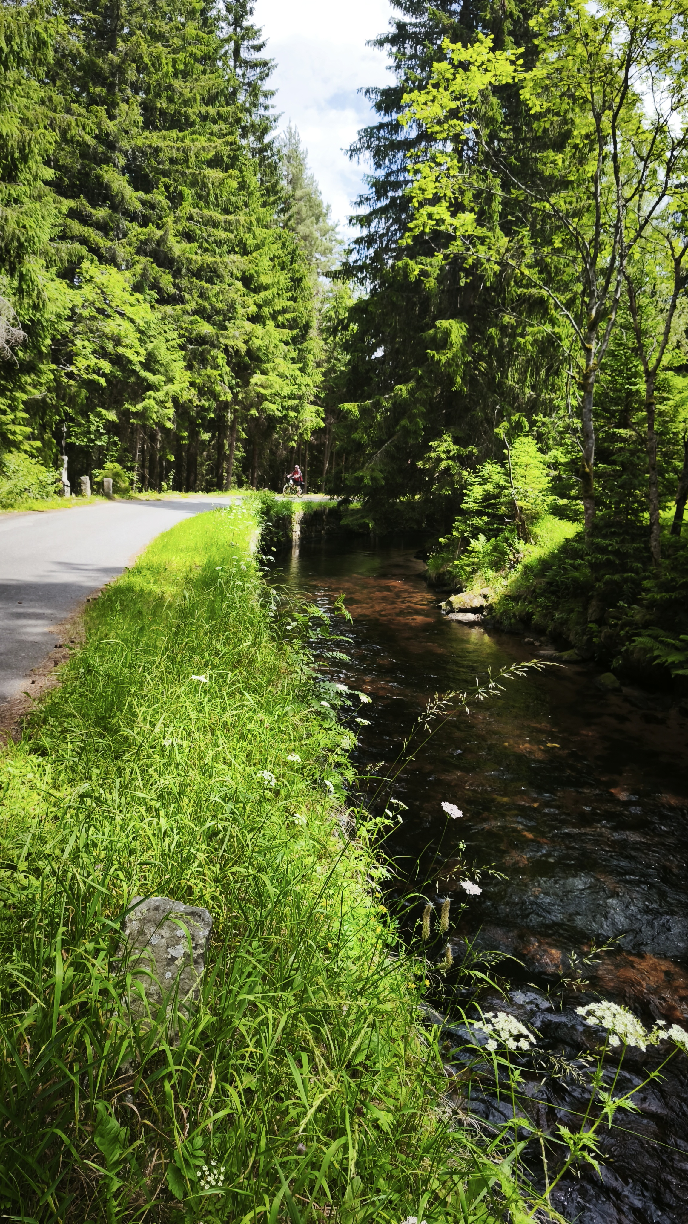
Kašperské Hory, Řetenice - Král Šumavy
A cycling route starting in Kašperské Hory, Plzeň Region, Czechia.
Overview
About this route
The more information you write here, the more useful it will be for other users.
- Route progress.
- What is special about this route?
- Why recommend this route?
- What did you like most here?
- Etc.
- -:--
- Duration
- 10.1 km
- Distance
- 405 m
- Ascent
- 86 m
- Descent
- ---
- Avg. speed
- ---
- Max. altitude

Continue with Bikemap
Use, edit, or download this cycling route
You would like to ride Kašperské Hory, Řetenice - Král Šumavy or customize it for your own trip? Here is what you can do with this Bikemap route:
Free features
- Save this route as favorite or in collections
- Copy & plan your own version of this route
- Sync your route with Garmin or Wahoo
Premium features
Free trial for 3 days, or one-time payment. More about Bikemap Premium.
- Navigate this route on iOS & Android
- Export a GPX / KML file of this route
- Create your custom printout (try it for free)
- Download this route for offline navigation
Discover more Premium features.
Get Bikemap PremiumFrom our community
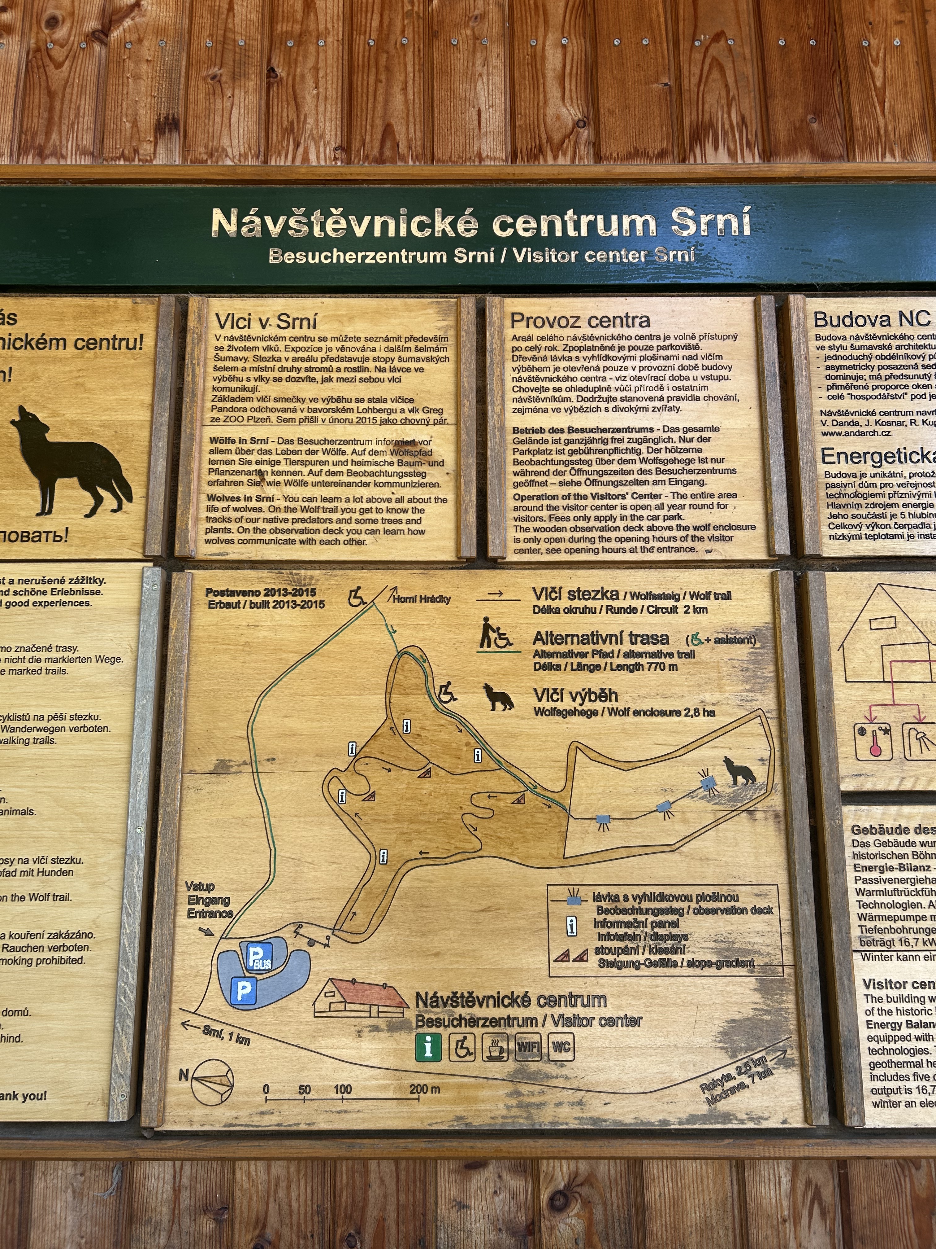
Other popular routes starting in Kašperské Hory
 Srní, Tříjezerní slať, Čeňkova pila, Modrava, Srní
- Distance
- 31.9 km
- Ascent
- 435 m
- Descent
- 484 m
- Location
- Kašperské Hory, Plzeň Region, Czechia
 Kašperské Hory, Řetenice - Král Šumavy
- Distance
- 10.1 km
- Ascent
- 405 m
- Descent
- 86 m
- Location
- Kašperské Hory, Plzeň Region, Czechia
 22. Čeňkova pila - Plzeň (stadion FC Viktoria)
- Distance
- 91.6 km
- Ascent
- 414 m
- Descent
- 791 m
- Location
- Kašperské Hory, Plzeň Region, Czechia
 2010-Tag22: Antygl-Stozec
- Distance
- 60.4 km
- Ascent
- 484 m
- Descent
- 635 m
- Location
- Kašperské Hory, Plzeň Region, Czechia
 Srní - Kvilda - Srní
- Distance
- 47.2 km
- Ascent
- 870 m
- Descent
- 897 m
- Location
- Kašperské Hory, Plzeň Region, Czechia
 49.158, 13.513 do 49.049, 13.508
- Distance
- 22.8 km
- Ascent
- 675 m
- Descent
- 291 m
- Location
- Kašperské Hory, Plzeň Region, Czechia
 Staré Srní - Laka a zpět
- Distance
- 44.6 km
- Ascent
- 637 m
- Descent
- 637 m
- Location
- Kašperské Hory, Plzeň Region, Czechia
 Srní - Poledník - Srní
- Distance
- 43.6 km
- Ascent
- 736 m
- Descent
- 685 m
- Location
- Kašperské Hory, Plzeň Region, Czechia
Open it in the app