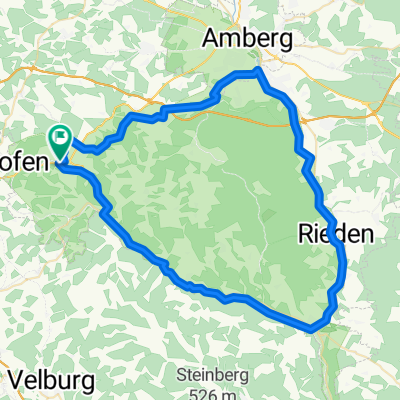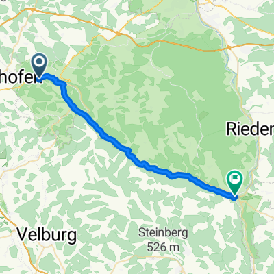
Route Schweppermann bis Schmidmühlen
- 25.7 km
- 542 m
- 637 m
- Kastl, Bavaria, Germany
A cycling route starting in Kastl, Bavaria, Germany.
Overview
Mountain bike round with a detour into the Birgland and Franconia. Tour guidance exclusively on car-free hiking/country paths or low-traffic streets. WARNING: with wet ground, the sections on forest hiking paths are not recommended (deep ground or slippery roots). (Unless you enjoy that sort of thing.) SHORT DESCRIPTION: Start: At the village lime tree. At the end of the village, turn right and head up Mühberg. In the forest, after about 100 m, climb the state forest road running parallel to the right, then keep to the left. Cross the municipal connecting road Brunn-Brünnthal. Traverse Ödhaag. Cross the state road and from here follow the hiking path to Poppberg (absolute mountain bike section; strenuous). There, follow the marked hiking path to Eckeltshof (not without difficulty) and from there take the field path to Kirchtalmühle/Claramühle (- pleasant through the forest and loss of all previously gained altitude). A short break is recommended here (bring your own apple - unfortunately no service at Kirchtalmühle yet). Then, head back up the Kursberg, but not left into the village, rather right into the forest direction Otzenberg (gravel path). Here, take the footpath towards Poppberg, but remain on the field path until reaching the connecting road Poppberg - Alfeld. There turn left. Traveling parallel to the A6 (wild strawberries after entering Ödamerhüll). Turn right towards the underpass of the highway, then immediately left. Continue parallel to the A6. In Matzenhof, turn right, towards Lauterhofen. Don't miss the turn left towards Niesaß/Brunn. From here the last 5 km are only downhill back into and through Lautrachtal.
created this 18 years ago
Continue with Bikemap
You would like to ride Mountainbike-Rundtour Fränkische Alb or customize it for your own trip? Here is what you can do with this Bikemap route:
Free trial for 3 days, or one-time payment. More about Bikemap Premium.
Discover more Premium features.
Get Bikemap PremiumFrom our community
Open it in the app