Döllach - Edelweissspitze - Keiser Franz Josef Höhe - Döllach
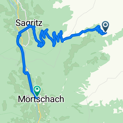
A cycling route starting in Großkirchheim, Carinthia, Austria.
Overview
About this route
Takové horské prémie po asfaltu :-)
- -:--
- Duration
- 83.7 km
- Distance
- 2,587 m
- Ascent
- 2,587 m
- Descent
- ---
- Avg. speed
- ---
- Avg. speed
Route quality
Waytypes & surfaces along the route
Waytypes
Road
66.1 km
(79 %)
Busy road
7.7 km
(9 %)
Surfaces
Paved
67.7 km
(81 %)
Asphalt
67.7 km
(81 %)
Undefined
16.1 km
(19 %)
Continue with Bikemap
Use, edit, or download this cycling route
You would like to ride Döllach - Edelweissspitze - Keiser Franz Josef Höhe - Döllach or customize it for your own trip? Here is what you can do with this Bikemap route:
Free features
- Save this route as favorite or in collections
- Copy & plan your own version of this route
- Sync your route with Garmin or Wahoo
Premium features
Free trial for 3 days, or one-time payment. More about Bikemap Premium.
- Navigate this route on iOS & Android
- Export a GPX / KML file of this route
- Create your custom printout (try it for free)
- Download this route for offline navigation
Discover more Premium features.
Get Bikemap PremiumFrom our community
Other popular routes starting in Großkirchheim
- Döllach - Heiligenblut - Kasereck
- Distance
- 20.5 km
- Ascent
- 954 m
- Descent
- 137 m
- Location
- Großkirchheim, Carinthia, Austria
- Transalp 2.Tag RL bis Corvara
- Distance
- 154.5 km
- Ascent
- 2,447 m
- Descent
- 1,839 m
- Location
- Großkirchheim, Carinthia, Austria
- 2009_08 Adolf Noßberger Hütte_Lienzer Hütte pěšky
- Distance
- 9.5 km
- Ascent
- 749 m
- Descent
- 1,273 m
- Location
- Großkirchheim, Carinthia, Austria
- 6.Deň
- Distance
- 86 km
- Ascent
- 2,379 m
- Descent
- 2,698 m
- Location
- Großkirchheim, Carinthia, Austria
- Döllach-Franz Josef Höhe
- Distance
- 31.2 km
- Ascent
- 1,727 m
- Descent
- 564 m
- Location
- Großkirchheim, Carinthia, Austria
- Döllach - Asten
- Distance
- 29.5 km
- Ascent
- 1,456 m
- Descent
- 1,456 m
- Location
- Großkirchheim, Carinthia, Austria
- p16 Przełęcz Hochtor / Großglocknerstraße
- Distance
- 57.3 km
- Ascent
- 1,735 m
- Descent
- 1,997 m
- Location
- Großkirchheim, Carinthia, Austria
- Döllach FJHöhe Edelweißspitze Döllach
- Distance
- 83.4 km
- Ascent
- 2,655 m
- Descent
- 2,653 m
- Location
- Großkirchheim, Carinthia, Austria
Open it in the app