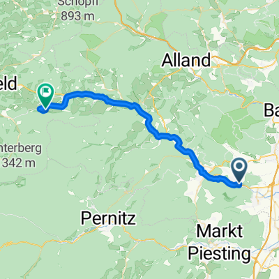
Enzesfeld-Aussichtsbankerl!
- 10.1 km
- 256 m
- 156 m
- Hirtenberg, Lower Austria, Austria
A cycling route starting in Hirtenberg, Lower Austria, Austria.
Overview
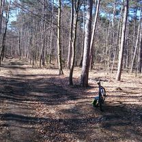
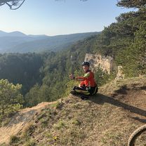
lonely paved roads, passing by Hernstein Castle, little traffic, intended for road cycling
created this 11 years ago
Route quality
Road
39.3 km
(51 %)
Quiet road
17.7 km
(23 %)
Paved
47 km
(61 %)
Unpaved
7.7 km
(10 %)
Asphalt
46.3 km
(60 %)
Gravel
6.9 km
(9 %)
Continue with Bikemap
You would like to ride Sprotte or customize it for your own trip? Here is what you can do with this Bikemap route:
Free trial for 3 days, or one-time payment. More about Bikemap Premium.
Discover more Premium features.
Get Bikemap PremiumFrom our community
Open it in the app