

S025 Sundsvall - Getberget (bei Ramvik)
A cycling route starting in Sundsvall, Västernorrland County, Sweden.
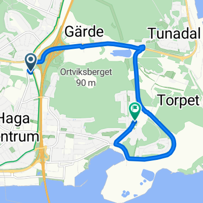
Overview
About this route
Sundsvall/Hotel Villa Aström - Bergsgatan - Tegelvägen - Montörvägen - Västra vägen - Radweg - SL13 - Bergsaker - SL13 - Laggarberg - SL9 - Timra - EV (= Cykelsparet 14) - Fagervik - EV - Forsmon - EV - Asäng - EV - Stigsjö - EV - Säbra - Landstr. (Y713) - EV (E4) - Älandsbro - EV (E4) - Nässland - EV - Strinningen - EV - Valanger - Landstr. (Y727) - Överskog - Landstr. (Y727) - Brücke über E4 - Wirtschaftsweg entlang Mörtsjön - Judebyvägen (738) - Getberget Hostel
- -:--
- Duration
- 106.1 km
- Distance
- 542 m
- Ascent
- 470 m
- Descent
- ---
- Avg. speed
- ---
- Avg. speed
Route quality
Waytypes & surfaces along the route
Waytypes
Road
61.3 km
(58 %)
Quiet road
15.2 km
(14 %)
Surfaces
Paved
72.3 km
(68 %)
Unpaved
12.1 km
(11 %)
Asphalt
72.3 km
(68 %)
Loose gravel
7.4 km
(7 %)
Route highlights
Points of interest along the route
Point of interest after 0.9 km
ICA Kvantum
Point of interest after 5.5 km
Coop Nära
Point of interest after 71.3 km
ICA Supermarket
Continue with Bikemap
Use, edit, or download this cycling route
You would like to ride S025 Sundsvall - Getberget (bei Ramvik) or customize it for your own trip? Here is what you can do with this Bikemap route:
Free features
- Save this route as favorite or in collections
- Copy & plan your own version of this route
- Sync your route with Garmin or Wahoo
Premium features
Free trial for 3 days, or one-time payment. More about Bikemap Premium.
- Navigate this route on iOS & Android
- Export a GPX / KML file of this route
- Create your custom printout (try it for free)
- Download this route for offline navigation
Discover more Premium features.
Get Bikemap PremiumFrom our community
Other popular routes starting in Sundsvall
 ARTUR ETAPP 1.
- Distance
- 5.7 km
- Ascent
- 67 m
- Descent
- 59 m
- Location
- Sundsvall, Västernorrland County, Sweden
 Sundsvall Classics Röd 101 km
- Distance
- 96.7 km
- Ascent
- 547 m
- Descent
- 549 m
- Location
- Sundsvall, Västernorrland County, Sweden
 Halmstadsvägen 45 to Norra Vägen 10
- Distance
- 4.8 km
- Ascent
- 41 m
- Descent
- 80 m
- Location
- Sundsvall, Västernorrland County, Sweden
 S025 Sundsvall - Getberget (bei Ramvik)
- Distance
- 106.1 km
- Ascent
- 542 m
- Descent
- 470 m
- Location
- Sundsvall, Västernorrland County, Sweden
 Roadtrip -20
- Distance
- 382.9 km
- Ascent
- 422 m
- Descent
- 496 m
- Location
- Sundsvall, Västernorrland County, Sweden
 13,3 mil / Liden
- Distance
- 132.8 km
- Ascent
- 686 m
- Descent
- 685 m
- Location
- Sundsvall, Västernorrland County, Sweden
 1.19. Sundsvall - Docksta
- Distance
- 138.8 km
- Ascent
- 630 m
- Descent
- 593 m
- Location
- Sundsvall, Västernorrland County, Sweden
 Sundsvall to Rovaniemi
- Distance
- 977.8 km
- Ascent
- 763 m
- Descent
- 679 m
- Location
- Sundsvall, Västernorrland County, Sweden
Open it in the app