

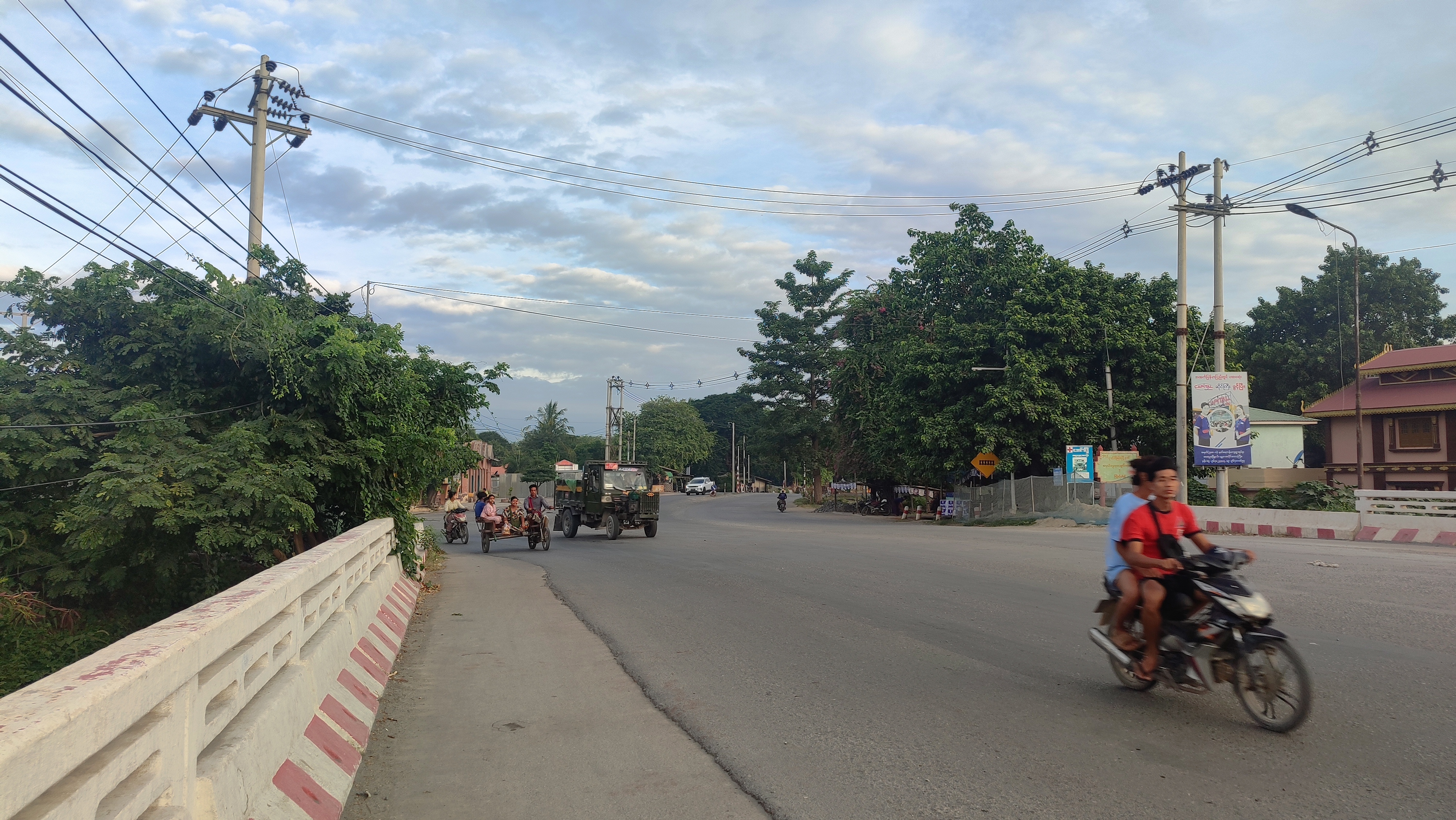
Rondreis Myanmar
A cycling route starting in Mandalay, Mandalay Region, Myanmar.
Overview
About this route
Rondreis Myanmar
- -:--
- Duration
- 48.5 km
- Distance
- 91 m
- Ascent
- 89 m
- Descent
- ---
- Avg. speed
- ---
- Max. altitude

Continue with Bikemap
Use, edit, or download this cycling route
You would like to ride Rondreis Myanmar or customize it for your own trip? Here is what you can do with this Bikemap route:
Free features
- Save this route as favorite or in collections
- Copy & plan your own version of this route
- Sync your route with Garmin or Wahoo
Premium features
Free trial for 3 days, or one-time payment. More about Bikemap Premium.
- Navigate this route on iOS & Android
- Export a GPX / KML file of this route
- Create your custom printout (try it for free)
- Download this route for offline navigation
Discover more Premium features.
Get Bikemap PremiumFrom our community
Other popular routes starting in Mandalay
 အုန်းချော
- Distance
- 30.9 km
- Ascent
- 122 m
- Descent
- 87 m
- Location
- Mandalay, Mandalay Region, Myanmar
 SR8-Myanmar-Thailand-Laos-Vietnam-Cambodia
- Distance
- 5,737.6 km
- Ascent
- 4,491 m
- Descent
- 4,457 m
- Location
- Mandalay, Mandalay Region, Myanmar
 Mandalay to Sagaing by bike
- Distance
- 36.9 km
- Ascent
- 152 m
- Descent
- 123 m
- Location
- Mandalay, Mandalay Region, Myanmar
 Rondreis Myanmar
- Distance
- 48.5 km
- Ascent
- 91 m
- Descent
- 89 m
- Location
- Mandalay, Mandalay Region, Myanmar
 Lane 15, tooည္တဖ မြဝတီမင်းကြီးလမ်း,
- Distance
- 6.2 km
- Ascent
- 0 m
- Descent
- 0 m
- Location
- Mandalay, Mandalay Region, Myanmar
 80th Street, Mandalay to 80th Street, Mandalay
- Distance
- 27.5 km
- Ascent
- 0 m
- Descent
- 0 m
- Location
- Mandalay, Mandalay Region, Myanmar
 Exploring Myanmar
- Distance
- 1,225 km
- Ascent
- 2,732 m
- Descent
- 2,799 m
- Location
- Mandalay, Mandalay Region, Myanmar
 Moderate route
- Distance
- 18.1 km
- Ascent
- 73 m
- Descent
- 22 m
- Location
- Mandalay, Mandalay Region, Myanmar
Open it in the app