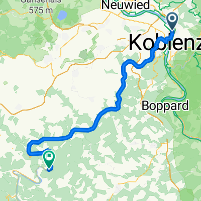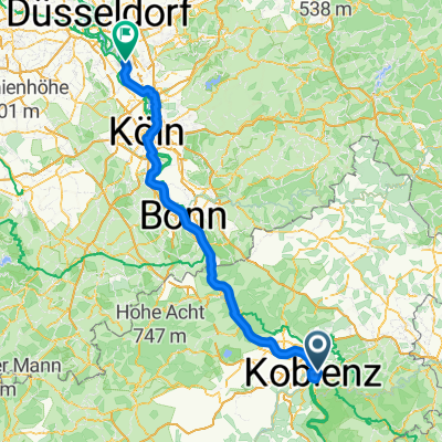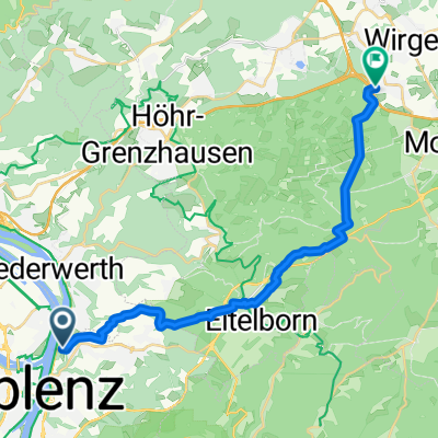
Seilbahn Koblenz nach Schöne Aussicht
- 20.8 km
- 518 m
- 388 m
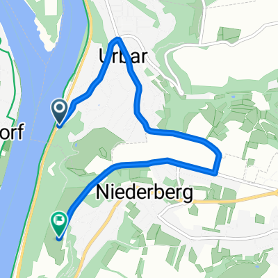
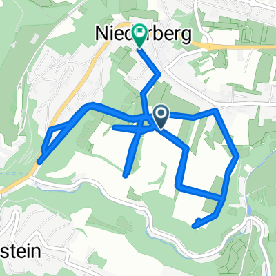
- Urbar, Rhineland-Palatinate, Germany
A cycling route starting in Urbar, Rhineland-Palatinate, Germany.
Overview
mosel rhine hunsrück
(cloned from route 2595454)
created this 11 years ago
Route quality
Road
16.9 km
(12 %)
Quiet road
8.5 km
(6 %)
Paved
111.5 km
(79 %)
Asphalt
110.1 km
(78 %)
Paved (undefined)
1.4 km
(1 %)
Undefined
29.7 km
(21 %)
Route highlights
Goldener Pfropfenzieher
Burg Eltz
Continue with Bikemap
You would like to ride Skattour mosel rhein or customize it for your own trip? Here is what you can do with this Bikemap route:
Free trial for 3 days, or one-time payment. More about Bikemap Premium.
Discover more Premium features.
Get Bikemap PremiumFrom our community
Open it in the app