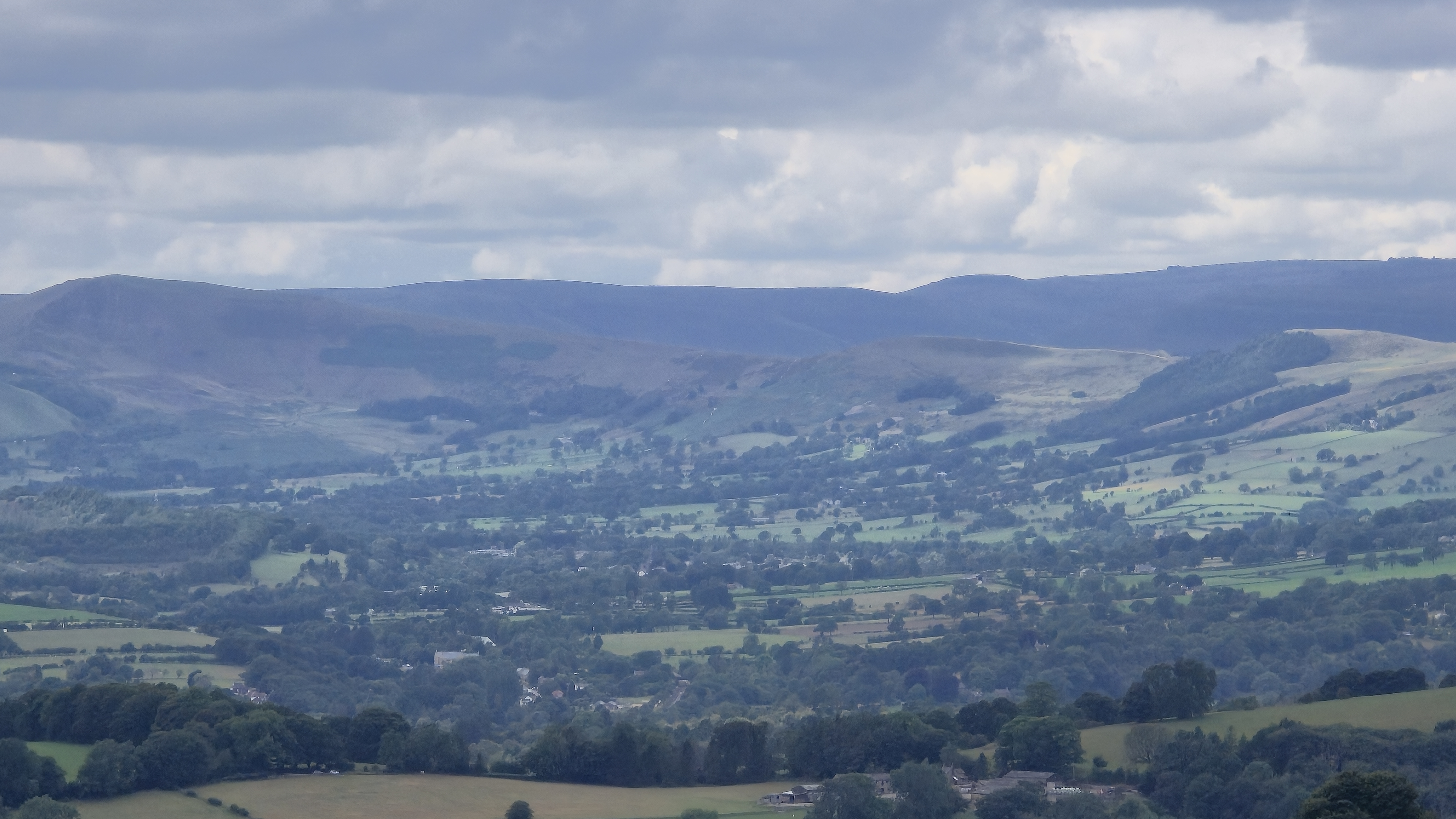
Hope Valley Circuit- White Peak MTB
A cycling route starting in Hathersage, England, United Kingdom.
Overview
About this route
Hope Valley Circuit taken from White Peak MTB by Vertebrate Publishing- 'Strictly speaking this is mostly on the Dark Peak Map, but a good proportion of the route is on the 'white stuff'. Basically a really big loop around the Hope Valley, taking in several tough climbs, some fantastic descents and only a smidgen of tarmac. Becuse of its variety of terrain, naturalness and geography it is a contender for one of the best enduro style rides in the UK.'
- -:--
- Duration
- 45.8 km
- Distance
- 997 m
- Ascent
- 997 m
- Descent
- ---
- Avg. speed
- ---
- Max. altitude
Route quality
Waytypes & surfaces along the route
Waytypes
Quiet road
11.9 km
(26 %)
Cycleway
10.1 km
(22 %)
Surfaces
Paved
16 km
(35 %)
Unpaved
19.2 km
(42 %)
Asphalt
16 km
(35 %)
Unpaved (undefined)
7.8 km
(17 %)
Continue with Bikemap
Use, edit, or download this cycling route
You would like to ride Hope Valley Circuit- White Peak MTB or customize it for your own trip? Here is what you can do with this Bikemap route:
Free features
- Save this route as favorite or in collections
- Copy & plan your own version of this route
- Sync your route with Garmin or Wahoo
Premium features
Free trial for 3 days, or one-time payment. More about Bikemap Premium.
- Navigate this route on iOS & Android
- Export a GPX / KML file of this route
- Create your custom printout (try it for free)
- Download this route for offline navigation
Discover more Premium features.
Get Bikemap PremiumFrom our community
Other popular routes starting in Hathersage
 Hathersage to Edale and back
- Distance
- 32.2 km
- Ascent
- 204 m
- Descent
- 205 m
- Location
- Hathersage, England, United Kingdom
 New Bike Gearing Route 2
- Distance
- 45.5 km
- Ascent
- 534 m
- Descent
- 534 m
- Location
- Hathersage, England, United Kingdom
 Surprise View to Surprise View
- Distance
- 4.8 km
- Ascent
- 917 m
- Descent
- 1,198 m
- Location
- Hathersage, England, United Kingdom
 HATHERSAGE CIRCLE
- Distance
- 31.4 km
- Ascent
- 334 m
- Descent
- 342 m
- Location
- Hathersage, England, United Kingdom
 Training Route above Sheffield
- Distance
- 13 km
- Ascent
- 283 m
- Descent
- 284 m
- Location
- Hathersage, England, United Kingdom
 stanage edge
- Distance
- 28.5 km
- Ascent
- 635 m
- Descent
- 654 m
- Location
- Hathersage, England, United Kingdom
 Ladybower and Win Hill (Camp)
- Distance
- 21.9 km
- Ascent
- 407 m
- Descent
- 409 m
- Location
- Hathersage, England, United Kingdom
 Bakewell loop - 40km
- Distance
- 37.6 km
- Ascent
- 356 m
- Descent
- 355 m
- Location
- Hathersage, England, United Kingdom
Open it in the app

