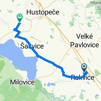
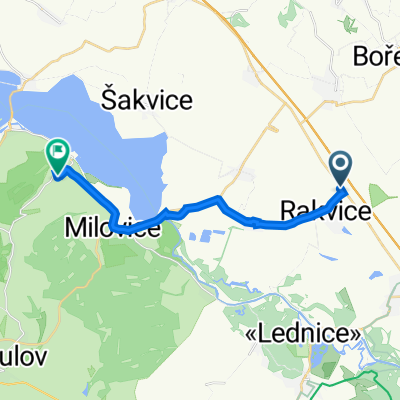
Rakvice - Břeclav
- 15.7 km
- 0 m
- 0 m
- Rakvice, South Moravian, Czechia
A cycling route starting in Rakvice, South Moravian, Czechia.
Overview
This additional route is suitable for a multi-day trip or can be used partially. It leads from the wine village of Rakvice, around the Drnovice wetlands, to the viewing tower Na Chocholíku, and further across the Drahanská Upland to Brno and back to Břecavsko.
The ride goes from Rakvice through Velké Pavlovice, Kobylí, Krumvíř along the edge of the Ždánický Forest towards Rousínov. Then along the edge of the Drahanská Upland to Drnovice. Past the viewing tower to the Pístovický pond, then to a steep climb and more challenging sections through the hilly forests of the mentioned upland. Through the Říčky Nature Park, past quarries at Mokré-Horákov, and further past the swimming area to the ruins of Horákov Castle, which you can see above the Pod Hrádkem reservoir and near Kadlecův Mill in the Mariánské Valley. Then we enter Brno-Líšeň and, after crossing the railway corridor at Maloměřice, join long-distance cycle route 5, EV9, Greenway K-M-W, which takes us across all of Brno to its southern edge, beyond the Shopping Park and the Olympia Centre. We return via Rebešovice, Rajhradice, Opatovice, Blučina, and Židlochovice, where we join the pheasant trail leading to Velké Němčice, and then on state road via Hustopeče back. An alternative is via Uherčice, Popice, Šakvice, and Zaječí.
created this 11 years ago
Route quality
Road
51.6 km
31 %
Track
30 km
18 %
Paved
109.9 km
(66 %)
Unpaved
10 km
(6 %)
Asphalt
103.2 km
62 %
Paved (undefined)
5 km
3 %
Continue with Bikemap
You would like to ride Do Drnovic na rozhlednu a Brna or customize it for your own trip? Here is what you can do with this Bikemap route:
Free trial for 3 days, or one-time payment. More about Bikemap Premium.
Discover more Premium features.
Get Bikemap PremiumFrom our community
Open it in the app