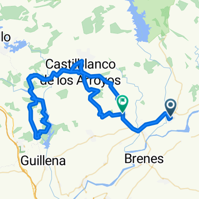
Cantillana - El Pedroso - Costantina - Villanueva - Cantillana
- 87.4 km
- 916 m
- 916 m
- Cantillana, Andalusia, Spain
A cycling route starting in Cantillana, Andalusia, Spain.
Overview
Cantillana - El Pedroso - Costantina - Villanueva - Cantillana
created this 11 years ago
Route quality
Road
25.3 km
29 %
Quiet road
1.7 km
2 %
Continue with Bikemap
You would like to ride Cantillana - El Pedroso - Costantina - Villanueva - Cantillana or customize it for your own trip? Here is what you can do with this Bikemap route:
Free trial for 3 days, or one-time payment. More about Bikemap Premium.
Discover more Premium features.
Get Bikemap PremiumFrom our community
Open it in the app