
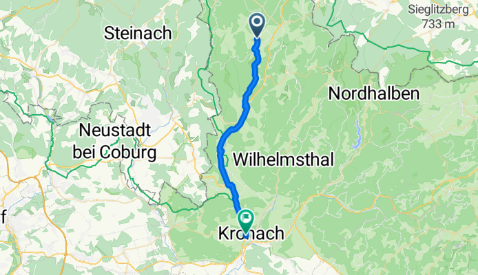
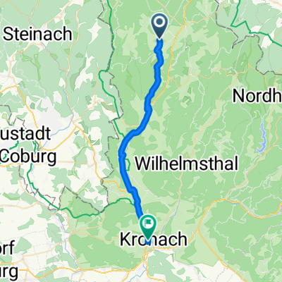
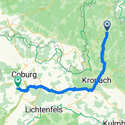
Windheim-Rothenkirchen-Kronach
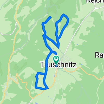
A cycling route starting in Teuschnitz, Bavaria, Germany.
Overview
About this route
Schlussetappe nach Windheim
- -:--
- Duration
- 25.1 km
- Distance
- 103 m
- Ascent
- 359 m
- Descent
- ---
- Avg. speed
- ---
- Max. altitude
Route quality
Waytypes & surfaces along the route
Waytypes
Busy road
10.6 km
(42 %)
Quiet road
6.2 km
(25 %)
Surfaces
Paved
9.6 km
(38 %)
Unpaved
2.2 km
(9 %)
Asphalt
9.1 km
(36 %)
Gravel
1.6 km
(6 %)
Continue with Bikemap
Use, edit, or download this cycling route
You would like to ride Windheim-Rothenkirchen-Kronach or customize it for your own trip? Here is what you can do with this Bikemap route:
Free features
- Save this route as favorite or in collections
- Copy & plan your own version of this route
- Sync your route with Garmin or Wahoo
Premium features
Free trial for 3 days, or one-time payment. More about Bikemap Premium.
- Navigate this route on iOS & Android
- Export a GPX / KML file of this route
- Create your custom printout (try it for free)
- Download this route for offline navigation
Discover more Premium features.
Get Bikemap PremiumFrom our community
Other popular routes starting in Teuschnitz
 Windheim-Rothenkirchen-Kronach
- Distance
- 25.1 km
- Ascent
- 103 m
- Descent
- 359 m
- Location
- Teuschnitz, Bavaria, Germany
 Lange Straße 24, Teuschnitz to Lange Straße 37, Teuschnitz
- Distance
- 18.6 km
- Ascent
- 316 m
- Descent
- 318 m
- Location
- Teuschnitz, Bavaria, Germany
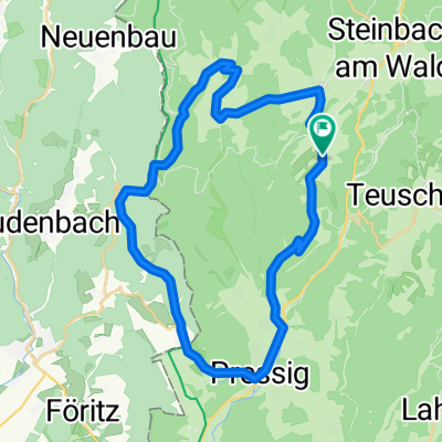
 Schönau 4, Steinbach am Wald nach Schönau 4, Steinbach am Wald
- Distance
- 68.4 km
- Ascent
- 1,035 m
- Descent
- 1,032 m
- Location
- Teuschnitz, Bavaria, Germany
 Frankenwald MTB 2 CLONED FROM ROUTE 696582
- Distance
- 47.3 km
- Ascent
- 683 m
- Descent
- 695 m
- Location
- Teuschnitz, Bavaria, Germany
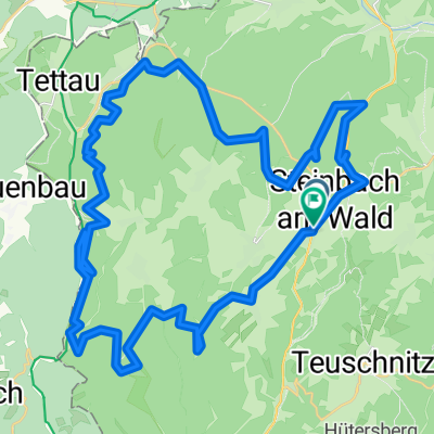
 Lange Radrunde durch Steinbach am Wald
- Distance
- 32.5 km
- Ascent
- 400 m
- Descent
- 401 m
- Location
- Teuschnitz, Bavaria, Germany
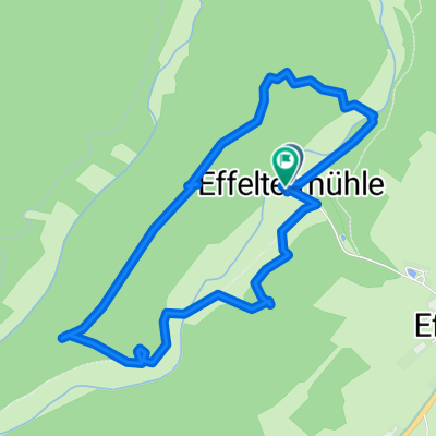
 Hauptstraße, Teuschnitz nach Hohenstein, Ahorn
- Distance
- 60.1 km
- Ascent
- 595 m
- Descent
- 806 m
- Location
- Teuschnitz, Bavaria, Germany
 Blinke 2021
- Distance
- 5.2 km
- Ascent
- 245 m
- Descent
- 197 m
- Location
- Teuschnitz, Bavaria, Germany
 Lange Straße 37, Teuschnitz to Lange Straße 37, Teuschnitz
- Distance
- 15.2 km
- Ascent
- 301 m
- Descent
- 305 m
- Location
- Teuschnitz, Bavaria, Germany
Open it in the app