

Trasa 2014.05.25
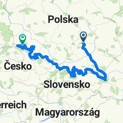
A cycling route starting in Suchedniów, Świętokrzyskie Voivodship, Poland.
Overview
About this route
Bukowa Góra, Kamień Michniowski - route cut short due to power outage.
- -:--
- Duration
- 27.7 km
- Distance
- 395 m
- Ascent
- 258 m
- Descent
- ---
- Avg. speed
- ---
- Max. altitude
Continue with Bikemap
Use, edit, or download this cycling route
You would like to ride Trasa 2014.05.25 or customize it for your own trip? Here is what you can do with this Bikemap route:
Free features
- Save this route as favorite or in collections
- Copy & plan your own version of this route
- Sync your route with Garmin or Wahoo
Premium features
Free trial for 3 days, or one-time payment. More about Bikemap Premium.
- Navigate this route on iOS & Android
- Export a GPX / KML file of this route
- Create your custom printout (try it for free)
- Download this route for offline navigation
Discover more Premium features.
Get Bikemap PremiumFrom our community
Other popular routes starting in Suchedniów
 Z Szydłowca do domu
- Distance
- 301.9 km
- Ascent
- 613 m
- Descent
- 607 m
- Location
- Suchedniów, Świętokrzyskie Voivodship, Poland
 SC Do Sołtysa 80km
- Distance
- 80.4 km
- Ascent
- 589 m
- Descent
- 586 m
- Location
- Suchedniów, Świętokrzyskie Voivodship, Poland
 KGP Cała Trasa
- Distance
- 1,680.7 km
- Ascent
- 3,601 m
- Descent
- 3,541 m
- Location
- Suchedniów, Świętokrzyskie Voivodship, Poland
 fsdfs
fsdfs- Distance
- 39.7 km
- Ascent
- 389 m
- Descent
- 390 m
- Location
- Suchedniów, Świętokrzyskie Voivodship, Poland
 Skarżysko kamienna ale nie zapisałem 78km łącznie
- Distance
- 26.8 km
- Ascent
- 645 m
- Descent
- 592 m
- Location
- Suchedniów, Świętokrzyskie Voivodship, Poland
 Ogrodowa 140, Suchedniów do Ogrodowa 140, Suchedniów
- Distance
- 86 km
- Ascent
- 673 m
- Descent
- 673 m
- Location
- Suchedniów, Świętokrzyskie Voivodship, Poland
 Świętokrzyska Przejażdżka
- Distance
- 118 km
- Ascent
- 1,109 m
- Descent
- 1,109 m
- Location
- Suchedniów, Świętokrzyskie Voivodship, Poland
 Rejów-Bugaj
- Distance
- 11.7 km
- Ascent
- 71 m
- Descent
- 83 m
- Location
- Suchedniów, Świętokrzyskie Voivodship, Poland
Open it in the app