CZ-AT-SK-CZ
- 145.1 km
- 238 m
- 238 m
- Velké Pavlovice, South Moravian, Czechia
A cycling route starting in Velké Pavlovice, South Moravian, Czechia.
Overview
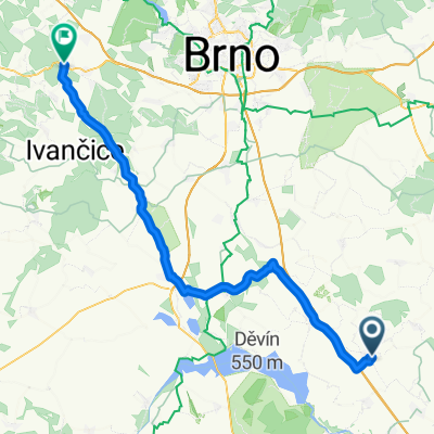
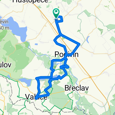
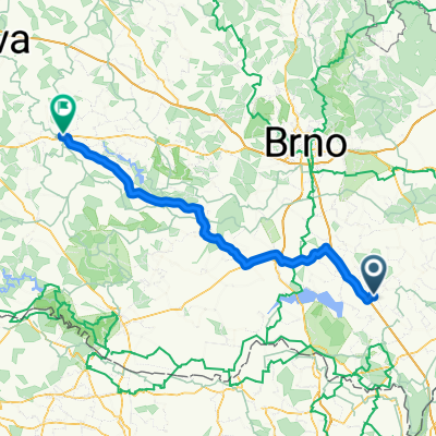
We set off from Velké Pavlovice towards Velké Bílovice, which we will go around by field roads near the agricultural cooperative. We cross the road to Podivín and continue straight on the field road, turning right at the cross and then left after a while, finally turning left at a solitary building and heading towards the road from Moravský Žižkov to Břeclav, which we cross and continue straight until we reach the busy road No. 55 between Břeclav and Hodonín. We carefully cross this road, turn right and arrive at the wine cellars and football field in the village of Hrušky. We reach the road where we turn right, cross the tracks, turn left and ride all the way to Tvrdonice. We pass through Tvrdonice, cross Kyjovka, at the crossroads we turn right and enter the forest. We ride alongside the Stibůrkovská ponds nature reserve. At the junction of Tvrdonické polesí, we go straight and then right on the asphalt road and the green tourist sign. We arrive at a railway crossing on the busy line to Bratislava, which we carefully cross and proceed left alongside the highway, under which we finally pass and arrive at the road leading to the bridge over the Morava River, which is the state border. At the Slovak bank, we turn left and ride along the dam up to the second floodgate, before which we turn right towards the Adamov Lakes. The artificially created water bodies that arose from gravel extraction belong to the most significant locations in Záhoří concerning the occurrence of bird species. They can be observed from the observation tower at the natural part of the lakes. At the recreational part, there is a beach with the possibility of refreshments, swimming, and fishing. There is also the option of renting pedal boats. After that, we can continue along the road to Adamov where we turn right onto the road, covering a few dozen meters before turning onto a forest path parallel to the road. This path takes us to the panel road, where we turn right and at the junction turn left along the road next to the railway tracks to Brodské, which we cross until we reach the road from Lanžhot. We cross this road and continue on the field road alongside the highway until we come to the bridge over it, which we pass and arrive at the dyke by the Morava River, where we turn left. We reach the tributary of the Morava, the Myjava River, which we cross using the railway bridge and continue along the dyke to the right. At the first fork, we turn left and arrive at another swimming place, frequently visited by gravel enthusiasts, Oširid. If we prefer more peaceful swimming, we will drive a little further along the road to Sekule. After about a kilometer, we turn left into the forest and arrive at another beautiful lake with clear water. Then we return to the road, passing through Sekule to Moravský Svätý Ján, where we can visit the Church of St. John the Baptist from 1842 or the baroque chateau. After that, we head towards the border crossing into Austria. After about 4 km, we can turn right and go along the marked trail to the Slovak side of the confluence of Dyje with Morava. Then we return along the dyke to the road and go over the bridge to Hohenau an der March, where we turn right and drive through Hohenau and then Rabensburg. When we pass by Bernhardsthal, we will pass another beautiful pond, the Landschaftsteich. We continue straight, and after a while, we cross the border back to the Czech Republic. At the crossroads Nad německými loukami, we go straight, cross the railway corridor and continue to the Boří les railway station, where we cross the tracks and, passing the Fosfa factory, enter the břeclavská part of Poštorná. After Třída 1. máje, we cross the relief arm of the Dyje and turn left onto its dam. We arrive at another bridge that we cross and continue along the asphalt road Kančí oborou. After about 4.5 km, we turn right onto an inconspicuous forest path leading to Ladenský bridge. After it, we turn sharply left and proceed along another pond leading to the small grove on the right side, where at about halfway we turn right onto the marked hiking trail to Podivín. We ride through Podivín to Rakvice and return to Velké Pavlovice.
created this 11 years ago
Route quality
Track
38.3 km
(33 %)
Road
36 km
(31 %)
Paved
70.8 km
(61 %)
Unpaved
19.7 km
(17 %)
Asphalt
66.1 km
(57 %)
Gravel
8.1 km
(7 %)
Continue with Bikemap
You would like to ride Ke slovenským koupalištím a soutoku or customize it for your own trip? Here is what you can do with this Bikemap route:
Free trial for 3 days, or one-time payment. More about Bikemap Premium.
Discover more Premium features.
Get Bikemap PremiumFrom our community
Open it in the app