
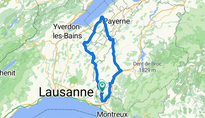
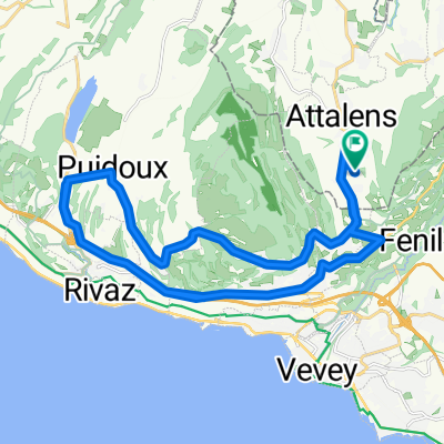
Circuit Estavayer-Le-Lac et la Glâne
A cycling route starting in Attalens, Canton of Fribourg, Switzerland.
Overview
About this route
Circuit pour vélo de route entre Glâne et Broye
- -:--
- Duration
- 105.2 km
- Distance
- 980 m
- Ascent
- 980 m
- Descent
- ---
- Avg. speed
- ---
- Max. altitude
Route quality
Waytypes & surfaces along the route
Waytypes
Busy road
63.4 km
(60 %)
Road
30.8 km
(29 %)
Surfaces
Paved
57.9 km
(55 %)
Asphalt
57.5 km
(55 %)
Paved (undefined)
0.4 km
(<1 %)
Undefined
47.3 km
(45 %)
Continue with Bikemap
Use, edit, or download this cycling route
You would like to ride Circuit Estavayer-Le-Lac et la Glâne or customize it for your own trip? Here is what you can do with this Bikemap route:
Free features
- Save this route as favorite or in collections
- Copy & plan your own version of this route
- Split it into stages to create a multi-day tour
- Sync your route with Garmin or Wahoo
Premium features
Free trial for 3 days, or one-time payment. More about Bikemap Premium.
- Navigate this route on iOS & Android
- Export a GPX / KML file of this route
- Create your custom printout (try it for free)
- Download this route for offline navigation
Discover more Premium features.
Get Bikemap PremiumFrom our community
Other popular routes starting in Attalens
 Itinéraire modéré en Blonay
- Distance
- 1.1 km
- Ascent
- 22 m
- Descent
- 0 m
- Location
- Attalens, Canton of Fribourg, Switzerland
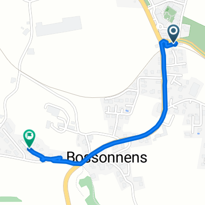
 Snail-Like Dimanche Course In Attalens
- Distance
- 27.5 km
- Ascent
- 357 m
- Descent
- 355 m
- Location
- Attalens, Canton of Fribourg, Switzerland
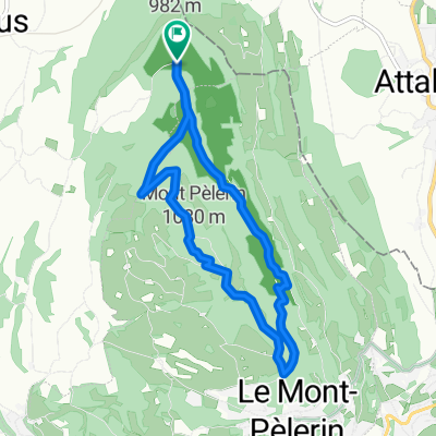
 Voie comme un escargot dans Le Mont-Pèlerin
- Distance
- 3.5 km
- Ascent
- 100 m
- Descent
- 28 m
- Location
- Attalens, Canton of Fribourg, Switzerland
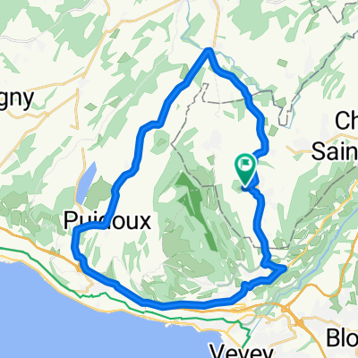
 Parcours n°11 - Les Châteaux
- Distance
- 17.8 km
- Ascent
- 401 m
- Descent
- 402 m
- Location
- Attalens, Canton of Fribourg, Switzerland
 Circuit Estavayer-Le-Lac et la Glâne
- Distance
- 105.2 km
- Ascent
- 980 m
- Descent
- 980 m
- Location
- Attalens, Canton of Fribourg, Switzerland
 pédestre : Mont-Pèlerin De Chemin du Montcheseaux 7, Puidoux à Chemin du Montcheseaux 7, Puidoux
- Distance
- 8.1 km
- Ascent
- 264 m
- Descent
- 266 m
- Location
- Attalens, Canton of Fribourg, Switzerland
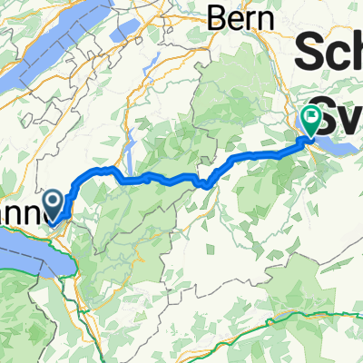 De Chemin de la Greppa 12, Attalens à Schachenstrasse 3 4, Spiez
- Distance
- 97.3 km
- Ascent
- 1,717 m
- Descent
- 1,858 m
- Location
- Attalens, Canton of Fribourg, Switzerland
 Mont-Pélerin / Genfer See
- Distance
- 28 km
- Ascent
- 460 m
- Descent
- 459 m
- Location
- Attalens, Canton of Fribourg, Switzerland
Open it in the app