MTB Runde HIP - Mäbenberg - GeorgTown - HIP
- 39.2 km
- 314 m
- 314 m
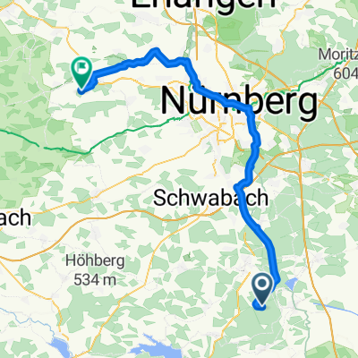
- Hilpoltstein, Bavaria, Germany
A cycling route starting in Hilpoltstein, Bavaria, Germany.
Overview
MTB route through places like Mäbenberg, Georgensgmünd, Wernsbach.....
Route quality
Track
22.7 km
(58 %)
Quiet road
5.9 km
(15 %)
Paved
5.5 km
(14 %)
Unpaved
21.5 km
(55 %)
Ground
8.6 km
(22 %)
Gravel
7.1 km
(18 %)
Continue with Bikemap
You would like to ride MTB Runde HIP - Mäbenberg - GeorgTown - HIP or customize it for your own trip? Here is what you can do with this Bikemap route:
Free trial for 3 days, or one-time payment. More about Bikemap Premium.
Discover more Premium features.
Get Bikemap PremiumFrom our community
Open it in the app