

Győr - Komárno
A cycling route starting in Győr, Győr-Moson-Sopron, Hungary.
Overview
About this route
From the railway station in Győr through the town, over the bridge across the Moson Danube to the right and along the embankment to the ferry at the confluence with the Danube. Along a lightly trafficked road through the villages of Kisbacs and Nagybajcs to the Danube embankment. Along the embankment to the road to Slovakia, over the Danube bridge in Medveďov. At Medveďov, turn onto a paved embankment, following it all the way to Čičov. Continue along the gravel embankment to Kližská Nemá. Continue through the village to Veľké Ksihy by a side road, or continue on the embankment. In Veľké Kosihy, return to the embankment and follow it all the way to Komárno.
- -:--
- Duration
- 71.2 km
- Distance
- 50 m
- Ascent
- 56 m
- Descent
- ---
- Avg. speed
- ---
- Max. altitude

Route highlights
Points of interest along the route

Photo after 0 km
Városháza / Radnica
Point of interest after 0.7 km
Point of interest after 0.7 km

Photo after 1.1 km
Rába és a Mosoni Duna osszefolyása / sútok Mošonského Dunaja a Rábu

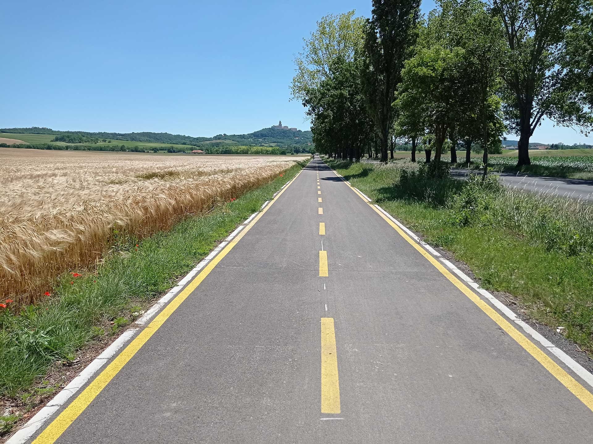
Photo after 11.3 km
kavicsos út a toltésen štrková cesta po hrádzi

Photo after 13.3 km
komp prievoz

Point of interest after 13.4 km
informatívny cestovný poriadok a cenník prievozu

Photo after 26.7 km
cesta na Medveďovský most a Medvei hídra vezető út
Point of interest after 27.6 km

Photo after 27.6 km
Duna / Dunaj

Point of interest after 35.1 km

Point of interest after 35.3 km
rezervácia Lion
Point of interest after 35.3 km

Point of interest after 42.1 km
Duna

Photo after 56.6 km

Point of interest after 57.3 km
Point of interest after 57.3 km
Point of interest after 66.8 km

Point of interest after 66.8 km
Komárno - železničný most - Dunaj
Continue with Bikemap
Use, edit, or download this cycling route
You would like to ride Győr - Komárno or customize it for your own trip? Here is what you can do with this Bikemap route:
Free features
- Save this route as favorite or in collections
- Copy & plan your own version of this route
- Sync your route with Garmin or Wahoo
Premium features
Free trial for 3 days, or one-time payment. More about Bikemap Premium.
- Navigate this route on iOS & Android
- Export a GPX / KML file of this route
- Create your custom printout (try it for free)
- Download this route for offline navigation
Discover more Premium features.
Get Bikemap PremiumFrom our community
Other popular routes starting in Győr
 Győr - Pannonhalma kerékpárút
- Distance
- 19.5 km
- Ascent
- 62 m
- Descent
- 11 m
- Location
- Győr, Győr-Moson-Sopron, Hungary
 Győr - Komárno
- Distance
- 71.2 km
- Ascent
- 50 m
- Descent
- 56 m
- Location
- Győr, Győr-Moson-Sopron, Hungary
 Győr-Balatonfüred
- Distance
- 119.5 km
- Ascent
- 1,207 m
- Descent
- 1,179 m
- Location
- Győr, Győr-Moson-Sopron, Hungary
 Véletlenszerűen északnak
- Distance
- 33.6 km
- Ascent
- 25 m
- Descent
- 26 m
- Location
- Győr, Győr-Moson-Sopron, Hungary
 Classic ride
- Distance
- 69.7 km
- Ascent
- 440 m
- Descent
- 440 m
- Location
- Győr, Győr-Moson-Sopron, Hungary
 Kajakos madárvadászat a Mosoni Dunán
- Distance
- 7.9 km
- Ascent
- 20 m
- Descent
- 22 m
- Location
- Győr, Győr-Moson-Sopron, Hungary
 Kőrihegy - és vissza
- Distance
- 106.9 km
- Ascent
- 696 m
- Descent
- 686 m
- Location
- Győr, Győr-Moson-Sopron, Hungary
 6. Györ-Bratislava
- Distance
- 89 km
- Ascent
- 128 m
- Descent
- 105 m
- Location
- Győr, Győr-Moson-Sopron, Hungary
Open it in the app