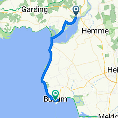
Ostsee 12: Tönning-Meldorf 48,3km 0hm
- 49.7 km
- 11 m
- 9 m
- Tönning, Schleswig-Holstein, Germany
A cycling route starting in Tönning, Schleswig-Holstein, Germany.
Overview
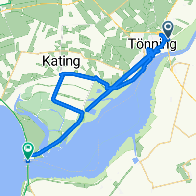
Small loop around the beautiful Katinger Watt and then on towards the Westerhever Lighthouse. I rode the route on my old racing bike. Mainly asphalt, many lonely side roads (some were partially repaired with gravel), two small sections were good slab road without larger edges. Perfect loop for fresh air and pure enjoyment of nature.
created this 11 years ago
Continue with Bikemap
You would like to ride Tönning - Katinger Watt - Westerhever - Tönning or customize it for your own trip? Here is what you can do with this Bikemap route:
Free trial for 3 days, or one-time payment. More about Bikemap Premium.
Discover more Premium features.
Get Bikemap PremiumFrom our community
Open it in the app