Stage 5: Schönberg to Eggenburg
- 28 km
- 476 m
- 380 m
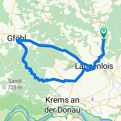
- Langenlois, Lower Austria, Austria
A cycling route starting in Langenlois, Lower Austria, Austria.
Overview
From the road through Lengenfeld, Senftenberg, Weinzierl, Mühldorf, up to Jauerling and through Maria Lach and Melk back through the Wachau to the road.
created this 11 years ago
Route quality
Road
53.2 km
(43 %)
Quiet road
13.6 km
(11 %)
Paved
96.5 km
(78 %)
Unpaved
2.5 km
(2 %)
Asphalt
95.3 km
(77 %)
Concrete
1.2 km
(1 %)
Continue with Bikemap
You would like to ride Straß - Jauerling _1 or customize it for your own trip? Here is what you can do with this Bikemap route:
Free trial for 3 days, or one-time payment. More about Bikemap Premium.
Discover more Premium features.
Get Bikemap PremiumFrom our community
Open it in the app