545454
- 7.9 km
- 142 m
- 137 m
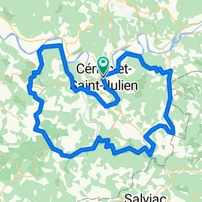
- Cénac, Nouvelle-Aquitaine, France
A cycling route starting in Cénac, Nouvelle-Aquitaine, France.
Overview
Beynac - Daglan loop 38 km on the road bike over paved roads
created this 11 years ago
Route quality
Road
11.4 km
30 %
Quiet road
3 km
8 %
Paved
34.2 km
(90 %)
Asphalt
34.2 km
90 %
Undefined
3.8 km
10 %
Continue with Bikemap
You would like to ride Rondje Beynac Daglan 38 km or customize it for your own trip? Here is what you can do with this Bikemap route:
Free trial for 3 days, or one-time payment. More about Bikemap Premium.
Discover more Premium features.
Get Bikemap PremiumFrom our community
Open it in the app