LA PUENTE ALTA Y EL CASTILLO DE DOMEÑO
- 38.3 km
- 1,142 m
- 1,239 m
- Tuéjar, Valencia, Spain
A cycling route starting in Tuéjar, Valencia, Spain.
Overview
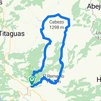
We leave Tuéjar heading towards the Mozaira, arrive at Calles, descend to Puente Alta and follow the river course to the old village of Domeño, climb up to the Castle and return via Calles.
created this 16 years ago
Route quality
Track
18 km
47 %
Road
7.3 km
19 %
Paved
9.6 km
(25 %)
Unpaved
8.8 km
(23 %)
Paved (undefined)
8.8 km
23 %
Ground
7.7 km
20 %
Route highlights
La Mozaira
Ermita de Chelva
Bodegas Vegamar
CALLES
LA PUENTE ALTA
CENTRAL HIDROELÉCTRICA ABANDONADA
CASTILLO DE DOMEÑO
PODEMOS VOLVER POR EL MISMO RECORRIDO O IR HACIA CHELVA
CHELVA
Continue with Bikemap
You would like to ride LA PUENTE ALTA Y EL CASTILLO DE DOMEÑO or customize it for your own trip? Here is what you can do with this Bikemap route:
Free trial for 3 days, or one-time payment. More about Bikemap Premium.
Discover more Premium features.
Get Bikemap PremiumFrom our community
Open it in the app