

Boucle Vaudreuil 330km
A cycling route starting in Fontenay-aux-Roses, Île-de-France Region, France.
Overview
About this route
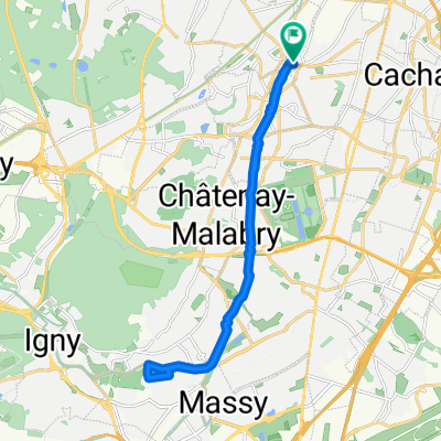
Chatillon Bonnières Vaudreuil return to Chatillon
- -:--
- Duration
- 320.7 km
- Distance
- 939 m
- Ascent
- 933 m
- Descent
- ---
- Avg. speed
- ---
- Max. altitude

Route quality
Waytypes & surfaces along the route
Waytypes
Road
51.3 km
(16 %)
Quiet road
28.9 km
(9 %)
Surfaces
Paved
137.9 km
(43 %)
Asphalt
137.9 km
(43 %)
Undefined
182.8 km
(57 %)
Continue with Bikemap
Use, edit, or download this cycling route
You would like to ride Boucle Vaudreuil 330km or customize it for your own trip? Here is what you can do with this Bikemap route:
Free features
- Save this route as favorite or in collections
- Copy & plan your own version of this route
- Split it into stages to create a multi-day tour
- Sync your route with Garmin or Wahoo
Premium features
Free trial for 3 days, or one-time payment. More about Bikemap Premium.
- Navigate this route on iOS & Android
- Export a GPX / KML file of this route
- Create your custom printout (try it for free)
- Download this route for offline navigation
Discover more Premium features.
Get Bikemap PremiumFrom our community
Other popular routes starting in Fontenay-aux-Roses
 Boucle Chatillon - Bonnières 190km
- Distance
- 184.1 km
- Ascent
- 719 m
- Descent
- 719 m
- Location
- Fontenay-aux-Roses, Île-de-France Region, France
 Chatillon Cabourg
- Distance
- 224.5 km
- Ascent
- 679 m
- Descent
- 801 m
- Location
- Fontenay-aux-Roses, Île-de-France Region, France
 Chatillon - Canéjan Aout 2016
- Distance
- 640.6 km
- Ascent
- 675 m
- Descent
- 749 m
- Location
- Fontenay-aux-Roses, Île-de-France Region, France
 Chatillon Loches 256km
- Distance
- 265.3 km
- Ascent
- 440 m
- Descent
- 485 m
- Location
- Fontenay-aux-Roses, Île-de-France Region, France
 Sortie Chevreuse 90km
- Distance
- 90 km
- Ascent
- 536 m
- Descent
- 536 m
- Location
- Fontenay-aux-Roses, Île-de-France Region, France
 Coulée verte sud
- Distance
- 18.7 km
- Ascent
- 141 m
- Descent
- 189 m
- Location
- Fontenay-aux-Roses, Île-de-France Region, France
 Paris Ploezal
- Distance
- 552.6 km
- Ascent
- 884 m
- Descent
- 932 m
- Location
- Fontenay-aux-Roses, Île-de-France Region, France
 Chatillon - Honfleur 200km
- Distance
- 196.8 km
- Ascent
- 463 m
- Descent
- 558 m
- Location
- Fontenay-aux-Roses, Île-de-France Region, France
Open it in the app