Paris - Roubaix in 3 Etappen (3b)
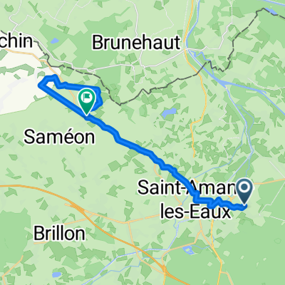
A cycling route starting in Saint-Amand-les-Eaux, Nord-Pas-de-Calais-Picardie, France.
Overview
About this route
Saint Amand les Eaux
Roubaix Velodrom Gare de Baisieux Kopfsteinpflasterstrecken Hölle des Nordens- -:--
- Duration
- 93.9 km
- Distance
- 178 m
- Ascent
- 169 m
- Descent
- ---
- Avg. speed
- ---
- Avg. speed
Route quality
Waytypes & surfaces along the route
Waytypes
Road
34.5 km
(37 %)
Quiet road
26 km
(28 %)
Surfaces
Paved
45.8 km
(49 %)
Unpaved
0.3 km
(<1 %)
Asphalt
44.9 km
(48 %)
Concrete
0.6 km
(<1 %)
Continue with Bikemap
Use, edit, or download this cycling route
You would like to ride Paris - Roubaix in 3 Etappen (3b) or customize it for your own trip? Here is what you can do with this Bikemap route:
Free features
- Save this route as favorite or in collections
- Copy & plan your own version of this route
- Sync your route with Garmin or Wahoo
Premium features
Free trial for 3 days, or one-time payment. More about Bikemap Premium.
- Navigate this route on iOS & Android
- Export a GPX / KML file of this route
- Create your custom printout (try it for free)
- Download this route for offline navigation
Discover more Premium features.
Get Bikemap PremiumFrom our community
Other popular routes starting in Saint-Amand-les-Eaux
- St Amand 5
- Distance
- 88.2 km
- Ascent
- 183 m
- Descent
- 181 m
- Location
- Saint-Amand-les-Eaux, Nord-Pas-de-Calais-Picardie, France
- De Rue de la Louvière 380, Saint-Amand-les-Eaux à Drève des Insurgés, Saint-Amand-les-Eaux
- Distance
- 25.9 km
- Ascent
- 162 m
- Descent
- 154 m
- Location
- Saint-Amand-les-Eaux, Nord-Pas-de-Calais-Picardie, France
- 1ere étape : Saint-Amand-les-Eaux-Saint-Amand-les-Eaux 27km CLM par équipes
- Distance
- 27.1 km
- Ascent
- 45 m
- Descent
- 49 m
- Location
- Saint-Amand-les-Eaux, Nord-Pas-de-Calais-Picardie, France
- Itinéraire reposant en Saint-Amand-les-Eaux
- Distance
- 9.3 km
- Ascent
- 16 m
- Descent
- 16 m
- Location
- Saint-Amand-les-Eaux, Nord-Pas-de-Calais-Picardie, France
- Berck - Saint-Armand-les-Eaux
- Distance
- 194.3 km
- Ascent
- 290 m
- Descent
- 298 m
- Location
- Saint-Amand-les-Eaux, Nord-Pas-de-Calais-Picardie, France
- TDF totaal
- Distance
- 4,661.9 km
- Ascent
- 5,027 m
- Descent
- 5,030 m
- Location
- Saint-Amand-les-Eaux, Nord-Pas-de-Calais-Picardie, France
- Etappe 4.1: Saint-Amand - Valenciennes
- Distance
- 11.2 km
- Ascent
- 54 m
- Descent
- 62 m
- Location
- Saint-Amand-les-Eaux, Nord-Pas-de-Calais-Picardie, France
- Paris - Roubaix in 3 Etappen (3b)
- Distance
- 93.9 km
- Ascent
- 178 m
- Descent
- 169 m
- Location
- Saint-Amand-les-Eaux, Nord-Pas-de-Calais-Picardie, France
Open it in the app