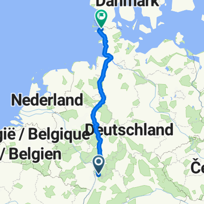
Weinh. Schönau Neckarg. Hd- Weinh.
- 59.9 km
- 373 m
- 371 m
- Weinheim, Baden-Wurttemberg, Germany
A cycling route starting in Weinheim, Baden-Wurttemberg, Germany.
Overview
Nice route. Uses mostly streets with no or little traffic. GPS data should be fairly good (tracked data). Interesting Points: Corn Maze (Mais Labyrinth), Ferry Ladenburg (cost: 50cents), Schwetzinger Schloss, Hockenheim Ring, Grabener Allee (Strahl des Schlosses der Fächerstadt Karlsruhe). I do not recommend to use with race bike. Please have fun and comment !
created this 16 years ago
Route quality
Track
34.3 km
(46 %)
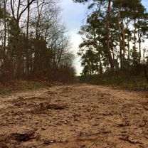
Path
11.2 km
(15 %)
Paved
63.3 km
(85 %)
Unpaved
8.9 km
(12 %)
Asphalt
58.8 km
(79 %)
Gravel
4.5 km
(6 %)
Continue with Bikemap
You would like to ride Weinheim (St.Marien) - Karlsruhe (HaDiKo) or customize it for your own trip? Here is what you can do with this Bikemap route:
Free trial for 3 days, or one-time payment. More about Bikemap Premium.
Discover more Premium features.
Get Bikemap PremiumFrom our community
Open it in the app