

Enztal-Radweg: Quelle - Pforzheim
A cycling route starting in Enzklösterle, Baden-Wurttemberg, Germany.
Overview
About this route
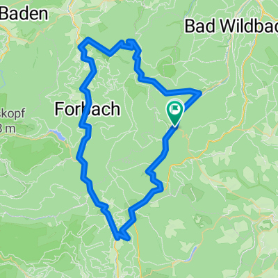
The cycling path along the upper Enz winds mostly on side roads through dark green valleys. The river was once an important transport route for floating timber. In Wildbad, a beautiful spa awaits, and in Neuenbürg, the valley winds tightly around the castle and opens into the lower Enz valley. The Gold City is the end of the stage. Here, the Enz merges into the Nagold, and the cycling path also continues along the Nagold cycling route.
- -:--
- Duration
- 46.3 km
- Distance
- 176 m
- Ascent
- 634 m
- Descent
- ---
- Avg. speed
- ---
- Max. altitude

Continue with Bikemap
Use, edit, or download this cycling route
You would like to ride Enztal-Radweg: Quelle - Pforzheim or customize it for your own trip? Here is what you can do with this Bikemap route:
Free features
- Save this route as favorite or in collections
- Copy & plan your own version of this route
- Sync your route with Garmin or Wahoo
Premium features
Free trial for 3 days, or one-time payment. More about Bikemap Premium.
- Navigate this route on iOS & Android
- Export a GPX / KML file of this route
- Create your custom printout (try it for free)
- Download this route for offline navigation
Discover more Premium features.
Get Bikemap PremiumFrom our community
Other popular routes starting in Enzklösterle
 Urwalderlebnistour Enzklösterle
- Distance
- 11.5 km
- Ascent
- 246 m
- Descent
- 246 m
- Location
- Enzklösterle, Baden-Wurttemberg, Germany
 Schwarzwald-3__Enzklösterle-Besenfeld
- Distance
- 17.3 km
- Ascent
- 398 m
- Descent
- 163 m
- Location
- Enzklösterle, Baden-Wurttemberg, Germany
 Enz-Eyach-Rohnbach
- Distance
- 53.6 km
- Ascent
- 685 m
- Descent
- 685 m
- Location
- Enzklösterle, Baden-Wurttemberg, Germany
 Enz und Eyach
- Distance
- 49.7 km
- Ascent
- 776 m
- Descent
- 776 m
- Location
- Enzklösterle, Baden-Wurttemberg, Germany
 Enztal-Murgtal-Kaltenbronner Wand
- Distance
- 64.3 km
- Ascent
- 1,613 m
- Descent
- 1,486 m
- Location
- Enzklösterle, Baden-Wurttemberg, Germany
 Poppeltal-Schwarzenberg
- Distance
- 5.9 km
- Ascent
- 212 m
- Descent
- 343 m
- Location
- Enzklösterle, Baden-Wurttemberg, Germany
 Enztal-Radweg: Quelle - Pforzheim
- Distance
- 46.3 km
- Ascent
- 176 m
- Descent
- 634 m
- Location
- Enzklösterle, Baden-Wurttemberg, Germany
 Enz-Murg-Panorama
- Distance
- 45 km
- Ascent
- 737 m
- Descent
- 742 m
- Location
- Enzklösterle, Baden-Wurttemberg, Germany
Open it in the app