

SantaPonca_Calvia_Puigpinyent_Esporles_Estelencs_Andratx_SantaPonca.gpx
A cycling route starting in Santa Ponsa, Balearic Islands, Spain.
Overview
About this route
track uploaded with updater tool
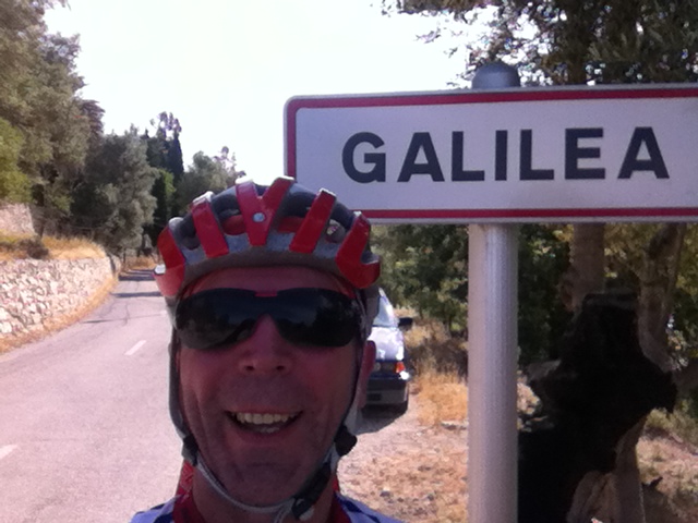
Sehr schöne Bergtour mit Anstiegen über 4,5 km & 3,5 km und über 5% Steigung. In Estelencs unbedingt runter an den Cale de Estenlencs fahren! Ab 11Uhr ist ein kleines Cafe geöffnet - nur Getränke - aber sehr schön gelegen! Rückweg über Andratx ist manuel hinzugefügt.- -:--
- Duration
- 92.2 km
- Distance
- 1,503 m
- Ascent
- 1,512 m
- Descent
- ---
- Avg. speed
- ---
- Max. altitude
Route quality
Waytypes & surfaces along the route
Waytypes
Road
68.5 km
(74 %)
Quiet road
11 km
(12 %)
Surfaces
Paved
78.7 km
(85 %)
Asphalt
77.8 km
(84 %)
Paved (undefined)
0.9 km
(<1 %)
Continue with Bikemap
Use, edit, or download this cycling route
You would like to ride SantaPonca_Calvia_Puigpinyent_Esporles_Estelencs_Andratx_SantaPonca.gpx or customize it for your own trip? Here is what you can do with this Bikemap route:
Free features
- Save this route as favorite or in collections
- Copy & plan your own version of this route
- Split it into stages to create a multi-day tour
- Sync your route with Garmin or Wahoo
Premium features
Free trial for 3 days, or one-time payment. More about Bikemap Premium.
- Navigate this route on iOS & Android
- Export a GPX / KML file of this route
- Create your custom printout (try it for free)
- Download this route for offline navigation
Discover more Premium features.
Get Bikemap PremiumFrom our community
Other popular routes starting in Santa Ponsa
 SantaPonsa-Calvia-EsCapdella-SaGranja-Banyalbufar-Antraitx-Peguera-SantaPonsa
- Distance
- 82.9 km
- Ascent
- 1,254 m
- Descent
- 1,254 m
- Location
- Santa Ponsa, Balearic Islands, Spain
 Santa Ponsa to Pollensa
- Distance
- 94 km
- Ascent
- 604 m
- Descent
- 607 m
- Location
- Santa Ponsa, Balearic Islands, Spain
 Sant Elm
- Distance
- 103.2 km
- Ascent
- 1,238 m
- Descent
- 1,238 m
- Location
- Santa Ponsa, Balearic Islands, Spain
 bike tour through Calvià
- Distance
- 30.1 km
- Ascent
- 306 m
- Descent
- 305 m
- Location
- Santa Ponsa, Balearic Islands, Spain
 SantaPoncaAndtrax
- Distance
- 54.6 km
- Ascent
- 933 m
- Descent
- 942 m
- Location
- Santa Ponsa, Balearic Islands, Spain
 Avinguda de la Mar, 34, Calvià to Avinguda de la Mar, 34, Calvià
- Distance
- 25.6 km
- Ascent
- 347 m
- Descent
- 337 m
- Location
- Santa Ponsa, Balearic Islands, Spain
 32km 240m cap de cala figuerra
- Distance
- 31.7 km
- Ascent
- 233 m
- Descent
- 233 m
- Location
- Santa Ponsa, Balearic Islands, Spain
 Senses Santa Ponça - Serra de Tramuntana
- Distance
- 82.3 km
- Ascent
- 1,307 m
- Descent
- 1,307 m
- Location
- Santa Ponsa, Balearic Islands, Spain
Open it in the app