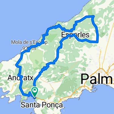
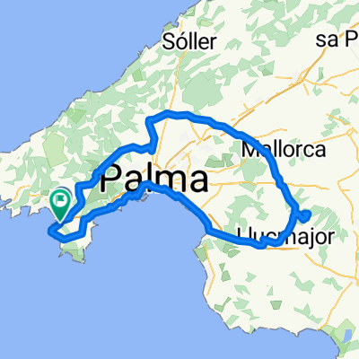
Santa Ponca_Santa Maria del Cami.gpx
A cycling route starting in Santa Ponsa, Balearic Islands, Spain.
Overview
About this route
track uploaded with updater tool
Achtung: Navi will einen immer die offiziellen Straße leiten, Radwege werden gern ignoriert! Mittwoch & Sonntag ist Markt in Santa Maria. Besuch lohnt sich, Polizei & Zivil-Guard passen auch mal auf Rennräder auf :-) Trotzdem anschließen! Auch schön: Fahrt durch Palma - kann durchaus ausgeweitet werden.- -:--
- Duration
- 85.6 km
- Distance
- 370 m
- Ascent
- 371 m
- Descent
- ---
- Avg. speed
- ---
- Max. altitude
Route quality
Waytypes & surfaces along the route
Waytypes
Busy road
35.8 km
(42 %)
Cycleway
20.4 km
(24 %)
Surfaces
Paved
62.8 km
(73 %)
Unpaved
0.1 km
(<1 %)
Asphalt
51.1 km
(60 %)
Concrete
9.1 km
(11 %)
Route highlights
Points of interest along the route
Point of interest after 57.8 km
Chickes Restaurant am Hafen, Aperol Spritz 6,50€ - aber lecker!
Point of interest after 84.4 km
Beste Eisdiele in Santa Ponca! Teuer aber riesen Auswahl und die großen Portionen sind sehr lecker!
Continue with Bikemap
Use, edit, or download this cycling route
You would like to ride Santa Ponca_Santa Maria del Cami.gpx or customize it for your own trip? Here is what you can do with this Bikemap route:
Free features
- Save this route as favorite or in collections
- Copy & plan your own version of this route
- Split it into stages to create a multi-day tour
- Sync your route with Garmin or Wahoo
Premium features
Free trial for 3 days, or one-time payment. More about Bikemap Premium.
- Navigate this route on iOS & Android
- Export a GPX / KML file of this route
- Create your custom printout (try it for free)
- Download this route for offline navigation
Discover more Premium features.
Get Bikemap PremiumFrom our community
Other popular routes starting in Santa Ponsa
 Paguera - Valldemossa Küstenstrasse
- Distance
- 93.7 km
- Ascent
- 1,647 m
- Descent
- 1,647 m
- Location
- Santa Ponsa, Balearic Islands, Spain
 Küste kurz
- Distance
- 86.1 km
- Ascent
- 1,028 m
- Descent
- 1,036 m
- Location
- Santa Ponsa, Balearic Islands, Spain
 Sanctuari de Cura
- Distance
- 129.5 km
- Ascent
- 818 m
- Descent
- 808 m
- Location
- Santa Ponsa, Balearic Islands, Spain
 bike tour through Calvià
- Distance
- 30.1 km
- Ascent
- 306 m
- Descent
- 305 m
- Location
- Santa Ponsa, Balearic Islands, Spain
 Sant Elm
- Distance
- 103.2 km
- Ascent
- 1,238 m
- Descent
- 1,238 m
- Location
- Santa Ponsa, Balearic Islands, Spain
 Avinguda de la Mar, 34, Calvià to Avinguda de la Mar, 34, Calvià
- Distance
- 25.6 km
- Ascent
- 347 m
- Descent
- 337 m
- Location
- Santa Ponsa, Balearic Islands, Spain
 Senses Santa Ponça - Serra de Tramuntana
- Distance
- 82.3 km
- Ascent
- 1,307 m
- Descent
- 1,307 m
- Location
- Santa Ponsa, Balearic Islands, Spain
 Santa Ponca-St Elm-Santa Ponca
- Distance
- 57.7 km
- Ascent
- 802 m
- Descent
- 804 m
- Location
- Santa Ponsa, Balearic Islands, Spain
Open it in the app


