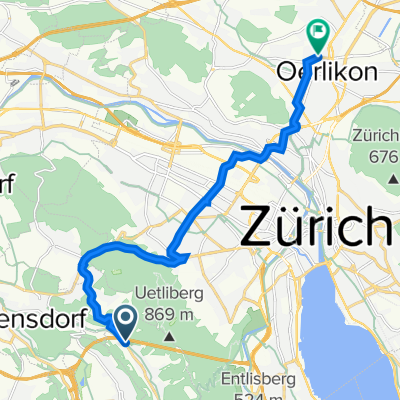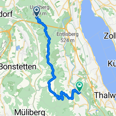
Uetliberg, Zürich to Obstgartenweg 10, Langnau am Albis
- 13.2 km
- 216 m
- 575 m
- Sellenbüren, Canton of Zurich, Switzerland
A cycling route starting in Sellenbüren, Canton of Zurich, Switzerland.
Overview
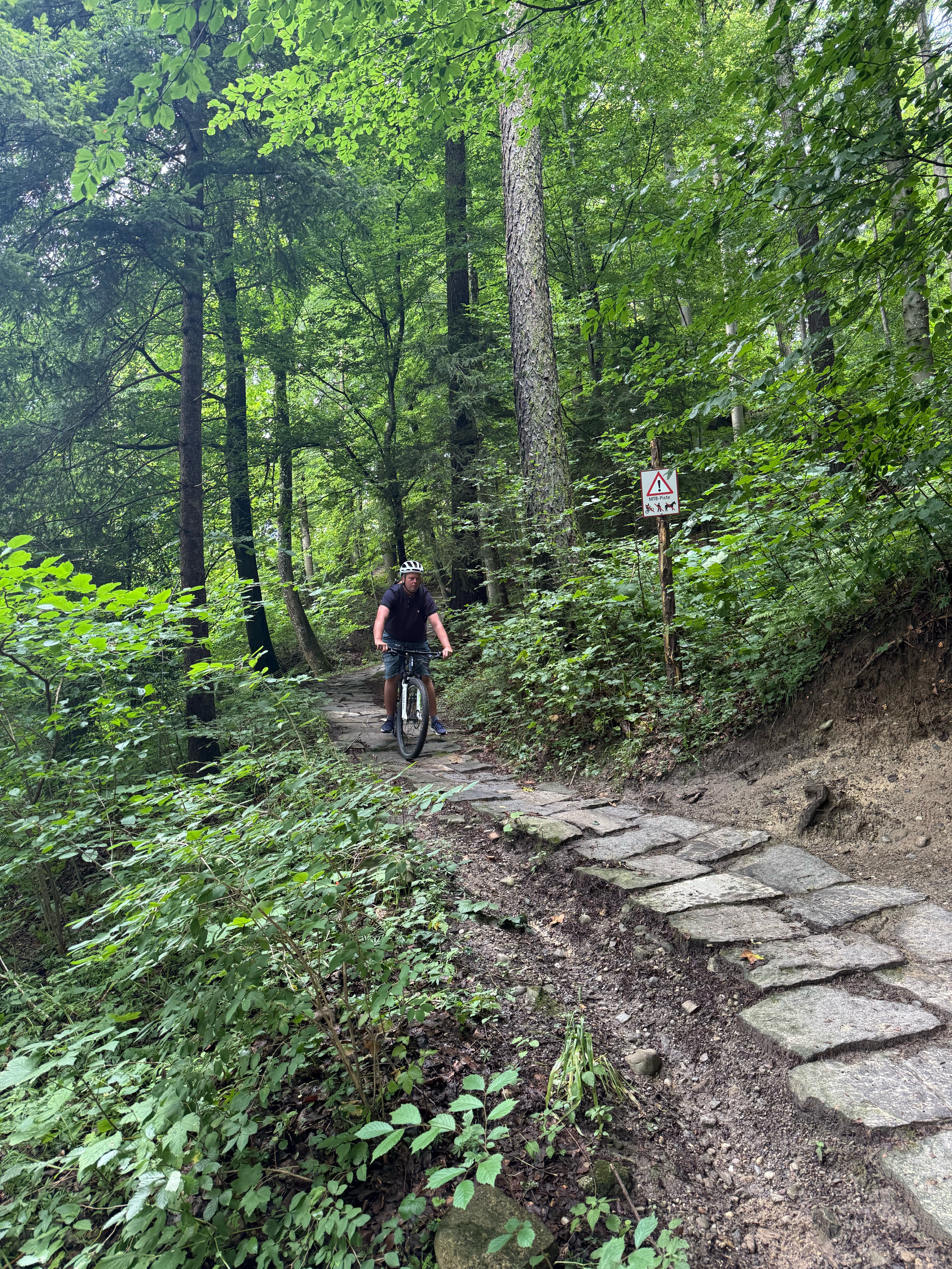
The route goes from Uetliberg to Lake Türler. Follow the signs for Albipass.
Continue with Bikemap
You would like to ride Zürich Albispass or customize it for your own trip? Here is what you can do with this Bikemap route:
Free trial for 3 days, or one-time payment. More about Bikemap Premium.
Discover more Premium features.
Get Bikemap PremiumFrom our community
Open it in the app