

Wald und Wiese - Mittel
A cycling route starting in Querenhorst, Lower Saxony, Germany.
Overview
About this route
A beautiful tour through many wooded areas with mostly well-ridable farm tracks (asphalt and gravel)
- -:--
- Duration
- 34.7 km
- Distance
- 201 m
- Ascent
- 202 m
- Descent
- ---
- Avg. speed
- ---
- Max. altitude
Route quality
Waytypes & surfaces along the route
Waytypes
Track
25.3 km
(73 %)
Road
3.5 km
(10 %)
Surfaces
Paved
13.2 km
(38 %)
Unpaved
19.1 km
(55 %)
Gravel
12.1 km
(35 %)
Asphalt
11.1 km
(32 %)
Continue with Bikemap
Use, edit, or download this cycling route
You would like to ride Wald und Wiese - Mittel or customize it for your own trip? Here is what you can do with this Bikemap route:
Free features
- Save this route as favorite or in collections
- Copy & plan your own version of this route
- Sync your route with Garmin or Wahoo
Premium features
Free trial for 3 days, or one-time payment. More about Bikemap Premium.
- Navigate this route on iOS & Android
- Export a GPX / KML file of this route
- Create your custom printout (try it for free)
- Download this route for offline navigation
Discover more Premium features.
Get Bikemap PremiumFrom our community
Other popular routes starting in Querenhorst
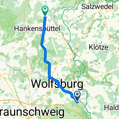
 Försterberg, Querenhorst nach Straße der Opfer des Faschismus 22, Genthin
- Distance
- 104.2 km
- Ascent
- 415 m
- Descent
- 485 m
- Location
- Querenhorst, Lower Saxony, Germany
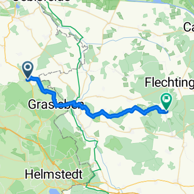
 Oebisfelde-Weferlingen nach Auf der Masch 12, Groß Twülpstedt
- Distance
- 9.5 km
- Ascent
- 47 m
- Descent
- 32 m
- Location
- Querenhorst, Lower Saxony, Germany
 Bahrdorf nach Lurchengasse 8, Helmstedt
- Distance
- 10.2 km
- Ascent
- 83 m
- Descent
- 73 m
- Location
- Querenhorst, Lower Saxony, Germany
 Hauptstraße 14, Bahrdorf nach Lindenbreite 7, Grasleben
- Distance
- 6.8 km
- Ascent
- 46 m
- Descent
- 52 m
- Location
- Querenhorst, Lower Saxony, Germany
 B244, Querenhorst nach Bahnhofstraße 49, Bahrdorf
- Distance
- 6.3 km
- Ascent
- 36 m
- Descent
- 59 m
- Location
- Querenhorst, Lower Saxony, Germany
 Querenhorst - Lüder
- Distance
- 66.8 km
- Ascent
- 148 m
- Descent
- 197 m
- Location
- Querenhorst, Lower Saxony, Germany
 Helmstedter Straße, Querenhorst nach Forsthausweg, Flechtingen
- Distance
- 25.1 km
- Ascent
- 158 m
- Descent
- 136 m
- Location
- Querenhorst, Lower Saxony, Germany
 Unnamed Road, Mariental nach Volkmarsdorfer Straße 100, Wolfsburg
- Distance
- 7.6 km
- Ascent
- 69 m
- Descent
- 99 m
- Location
- Querenhorst, Lower Saxony, Germany
Open it in the app