TG13_Tag-2
- 100.9 km
- 840 m
- 609 m
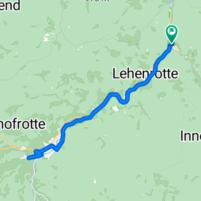
- Lilienfeld, Lower Austria, Austria
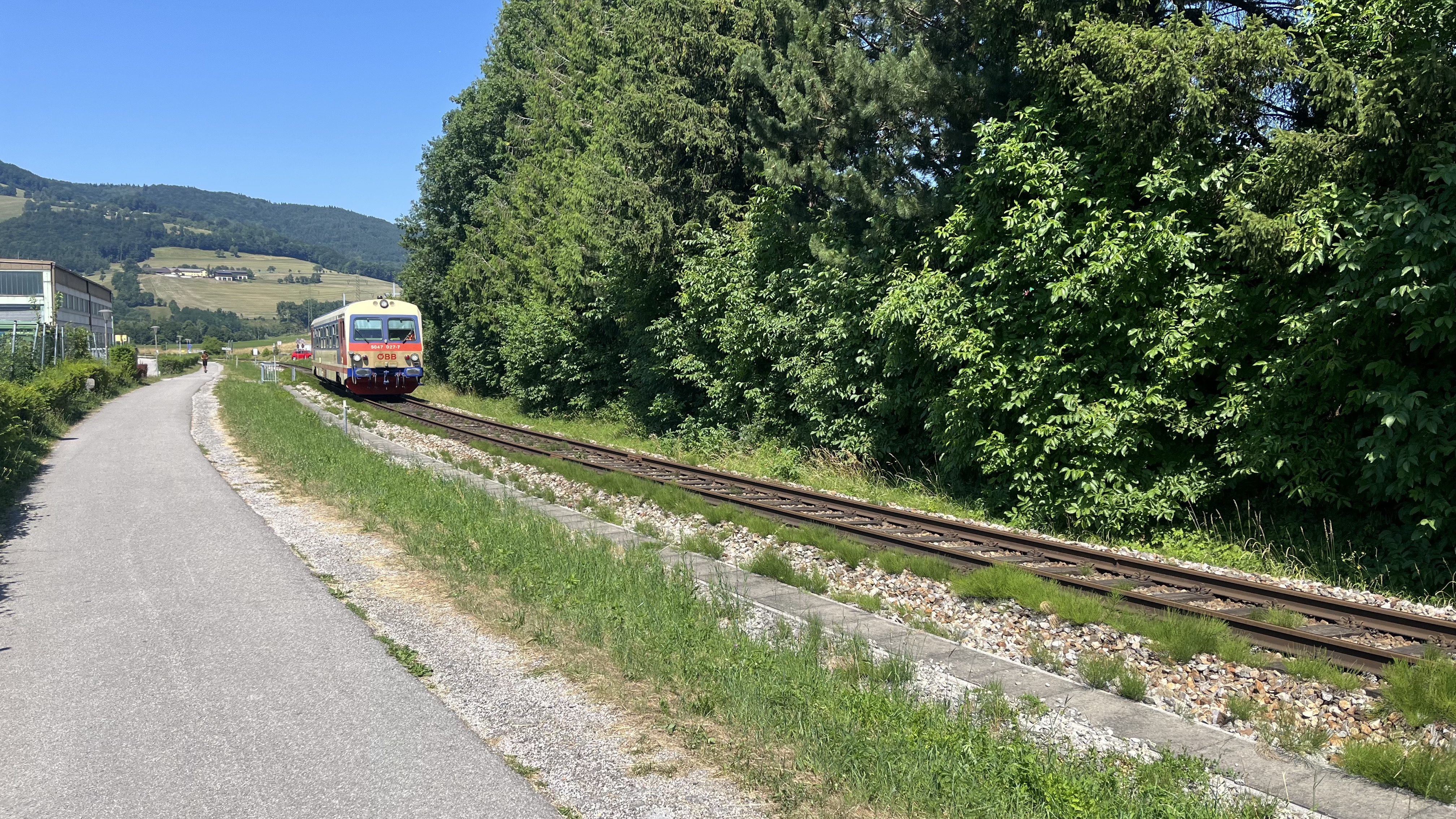
A cycling route starting in Lilienfeld, Lower Austria, Austria.
Overview
Freiland - St. Aegyd - Kernhof - Ulreichsberg - Walster - Maria Zell
created this 11 years ago
Route quality
Quiet road
12.7 km
(25 %)
Road
1 km
(2 %)
Paved
14.8 km
(29 %)
Asphalt
14.8 km
(29 %)
Undefined
36.2 km
(71 %)
Continue with Bikemap
You would like to ride mariazell - Teilstrecke A or customize it for your own trip? Here is what you can do with this Bikemap route:
Free trial for 3 days, or one-time payment. More about Bikemap Premium.
Discover more Premium features.
Get Bikemap PremiumFrom our community
Open it in the app