
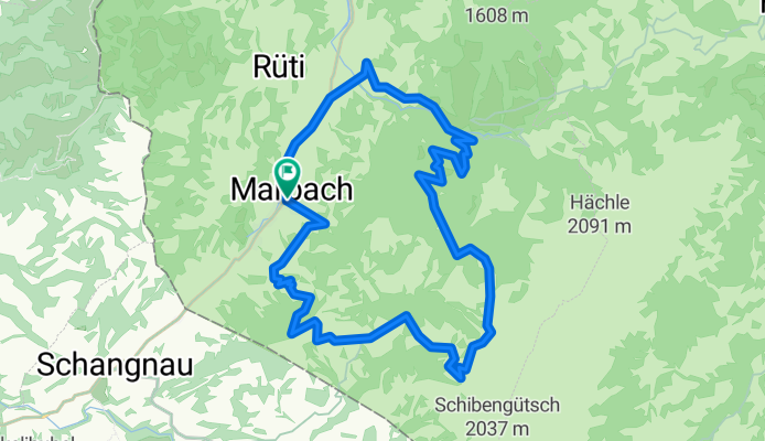
Marbach Panoramatour
A cycling route starting in Wald, Canton of Bern, Switzerland.
Overview
About this route
- -:--
- Duration
- 23.3 km
- Distance
- 951 m
- Ascent
- 951 m
- Descent
- ---
- Avg. speed
- ---
- Max. altitude

Route quality
Waytypes & surfaces along the route
Waytypes
Track
15.6 km
(67 %)
Quiet road
2.8 km
(12 %)
Surfaces
Paved
10.7 km
(46 %)
Unpaved
9.8 km
(42 %)
Asphalt
8.2 km
(35 %)
Unpaved (undefined)
5.1 km
(22 %)
Continue with Bikemap
Use, edit, or download this cycling route
You would like to ride Marbach Panoramatour or customize it for your own trip? Here is what you can do with this Bikemap route:
Free features
- Save this route as favorite or in collections
- Copy & plan your own version of this route
- Sync your route with Garmin or Wahoo
Premium features
Free trial for 3 days, or one-time payment. More about Bikemap Premium.
- Navigate this route on iOS & Android
- Export a GPX / KML file of this route
- Create your custom printout (try it for free)
- Download this route for offline navigation
Discover more Premium features.
Get Bikemap PremiumFrom our community
Other popular routes starting in Wald
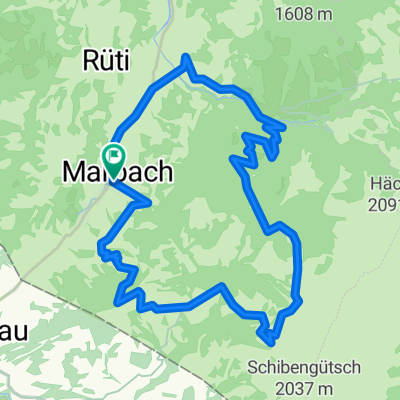
 Marbacher Panoramarunde
- Distance
- 21.9 km
- Ascent
- 911 m
- Descent
- 911 m
- Location
- Wald, Canton of Bern, Switzerland
 Marbach-Runde
- Distance
- 51 km
- Ascent
- 1,207 m
- Descent
- 1,209 m
- Location
- Wald, Canton of Bern, Switzerland
 Marbacher Panoramarunde
- Distance
- 21.9 km
- Ascent
- 956 m
- Descent
- 956 m
- Location
- Wald, Canton of Bern, Switzerland
 Dorfstrasse 48, Marbach nach Dorfstrasse 48, Marbach
- Distance
- 28.1 km
- Ascent
- 772 m
- Descent
- 773 m
- Location
- Wald, Canton of Bern, Switzerland
 Rund um die Schrattenflueh
- Distance
- 45.3 km
- Ascent
- 1,131 m
- Descent
- 1,131 m
- Location
- Wald, Canton of Bern, Switzerland
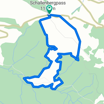 Schallenberg
- Distance
- 4.8 km
- Ascent
- 262 m
- Descent
- 263 m
- Location
- Wald, Canton of Bern, Switzerland
 MarbachEgg - Sörenberg - Hilferenpass
- Distance
- 47.2 km
- Ascent
- 1,420 m
- Descent
- 1,421 m
- Location
- Wald, Canton of Bern, Switzerland
 Marbach Panoramatour
- Distance
- 23.3 km
- Ascent
- 951 m
- Descent
- 951 m
- Location
- Wald, Canton of Bern, Switzerland
Open it in the app