Kirchbichl-Angerberg-Wörgl
- 22.9 km
- 270 m
- 269 m
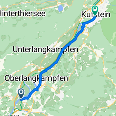
- Angath, Tyrol, Austria
A cycling route starting in Angath, Tyrol, Austria.
Overview
Abschluss vom Inn nach Schöffelding
Route quality
Road
24.9 km
(15 %)
Quiet road
6.6 km
(4 %)
Paved
164.4 km
(99 %)
Asphalt
164.4 km
(99 %)
Undefined
1.7 km
(1 %)
Continue with Bikemap
You would like to ride Innradweg-Schöffelding or customize it for your own trip? Here is what you can do with this Bikemap route:
Free trial for 3 days, or one-time payment. More about Bikemap Premium.
Discover more Premium features.
Get Bikemap PremiumFrom our community
Open it in the app