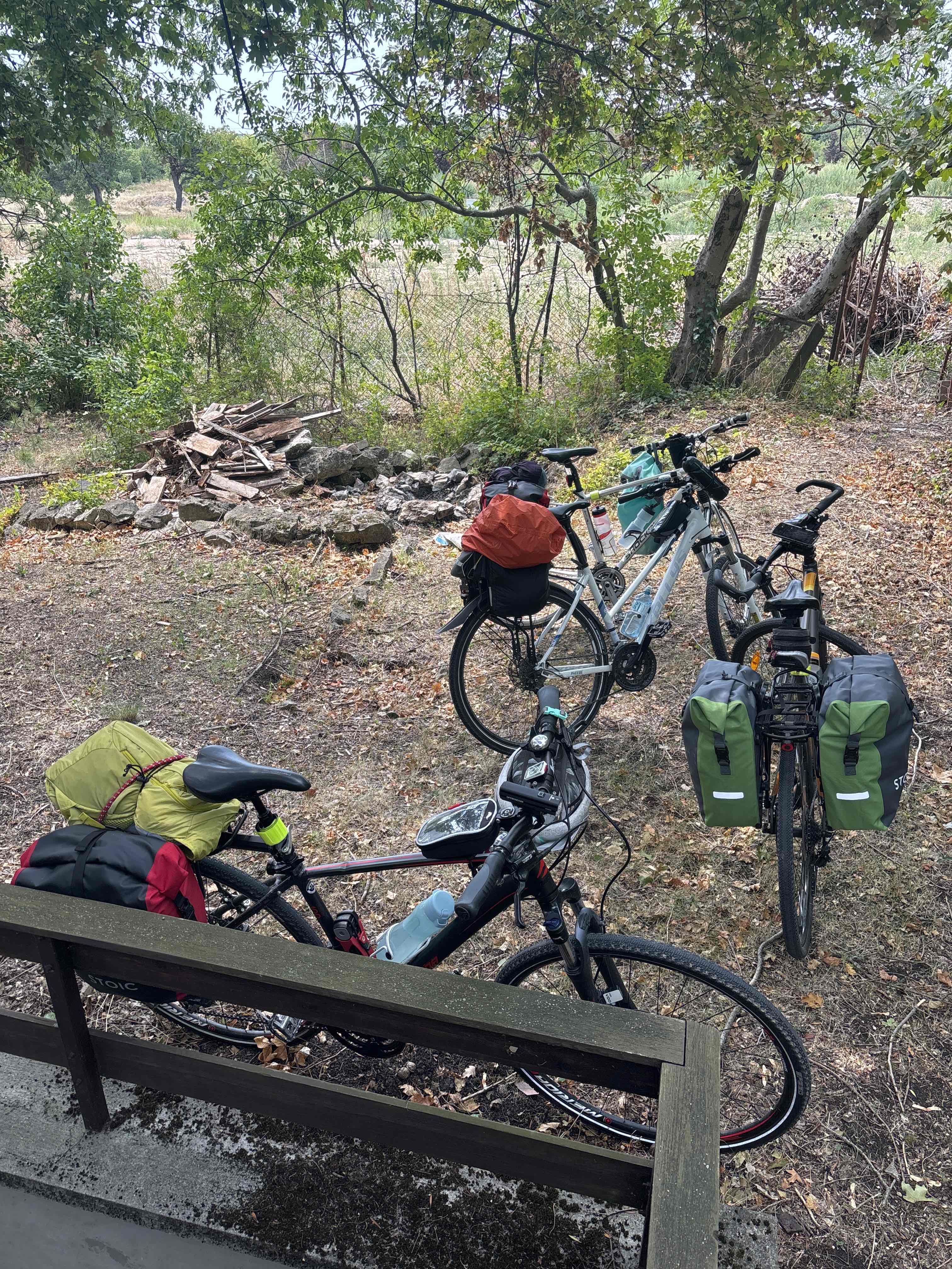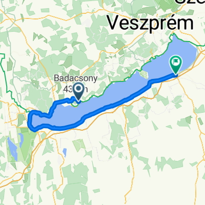
Római út - Badacsonyi út
- 13.6 km
- 23 m
- 92 m
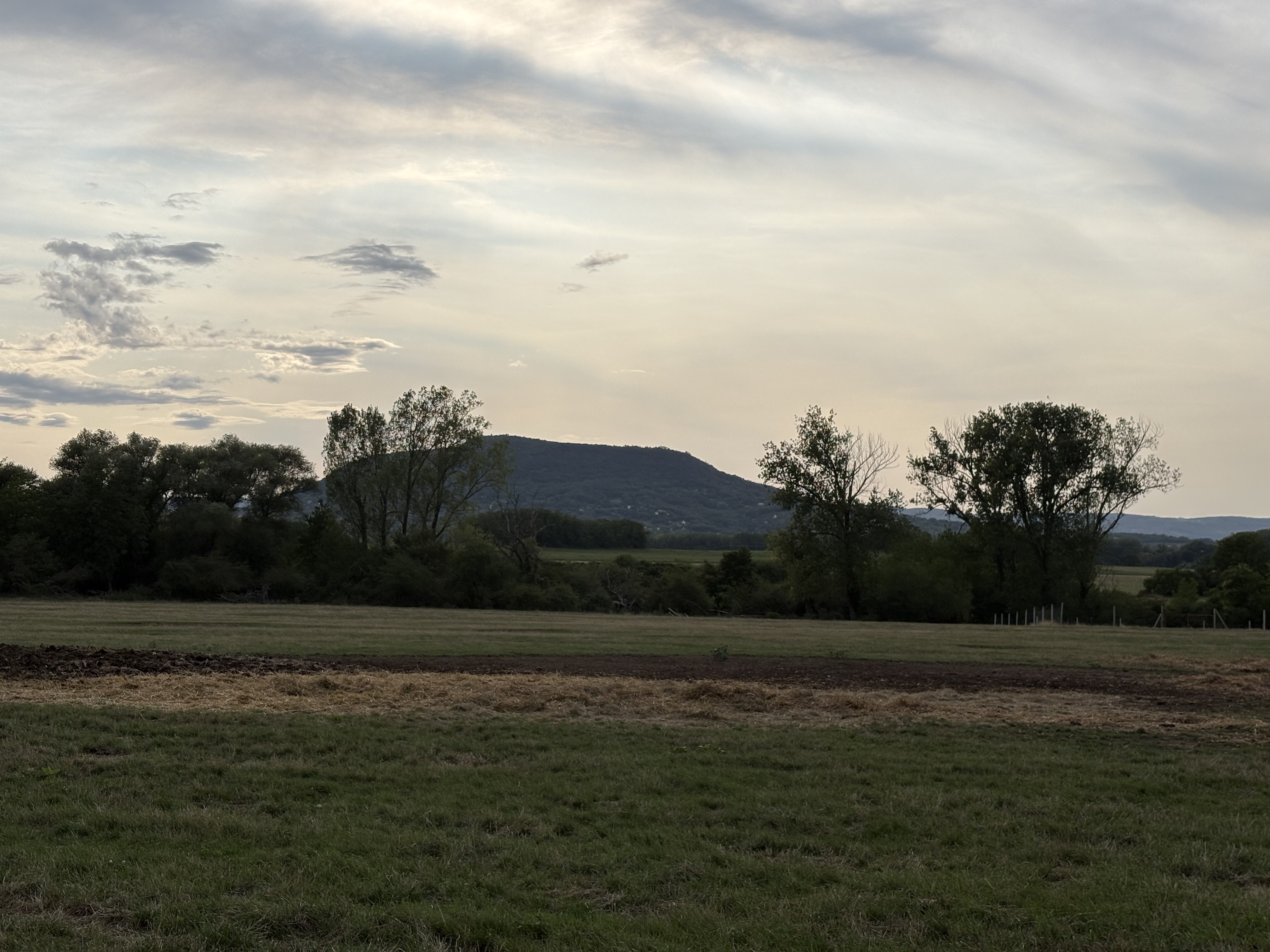
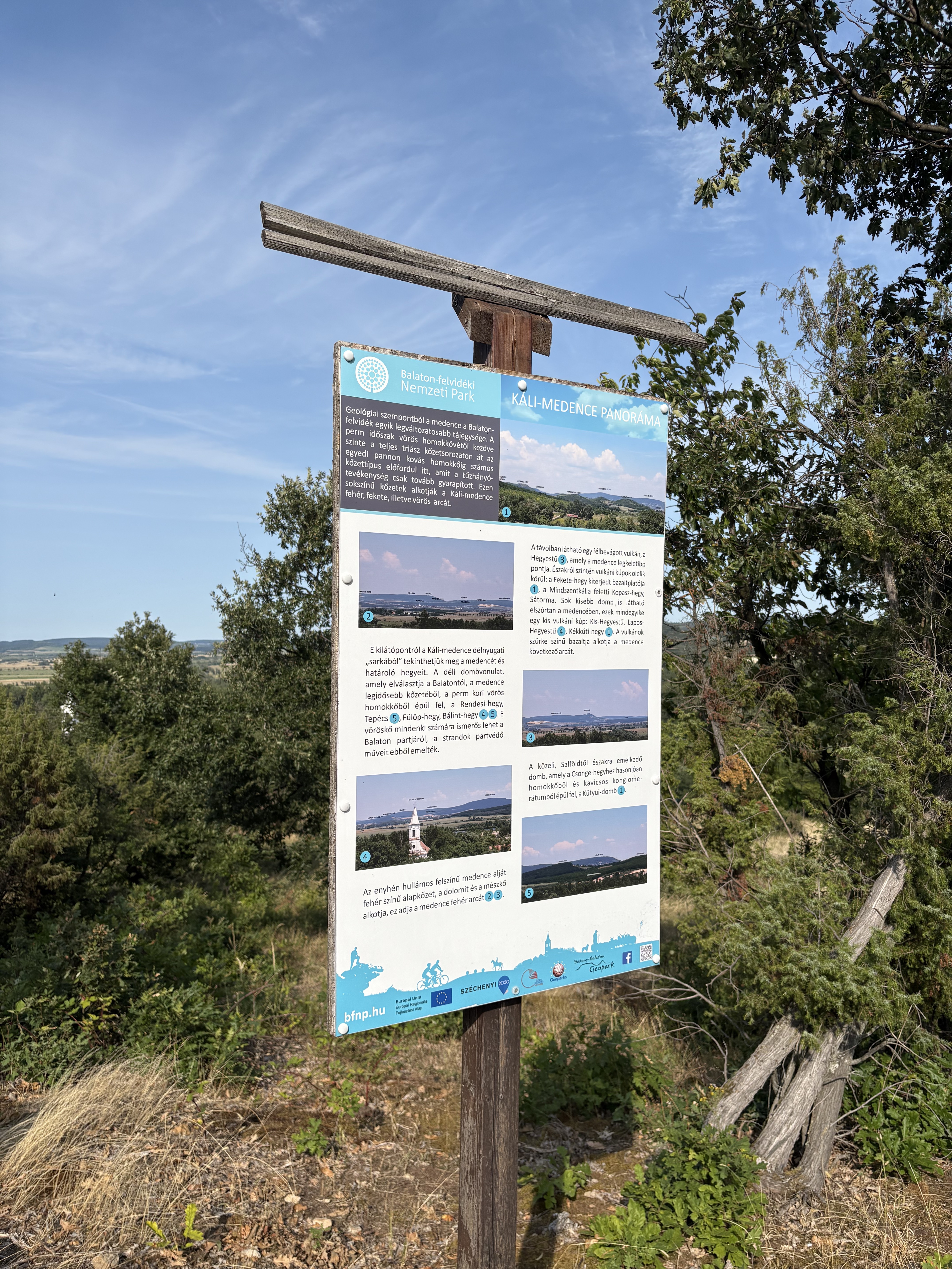
- Badacsonytomaj, Veszprém megye, Hungary
A cycling route starting in Badacsonytomaj, Veszprém megye, Hungary.
Overview
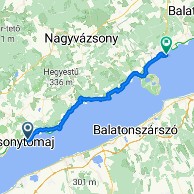
<table border="0" cellpadding="0" cellspacing="0" class="summaryTable overall" style="margin: 0px 0px 9px 24px; padding: 0px; color: rgb(45, 45, 45); font-family: 'lucida grande', arial, tahoma, verdana, sans-serif; background-color: rgb(238, 238, 238);"> <tbody> <tr> <td class="summaryTableLabel" style="margin: 0px; padding: 3px; white-space: nowrap;" valign="top"> Vzdialenosť:</td> <td style="margin: 0px; padding: 3px; white-space: nowrap;" valign="top"> 60,26 km</td> </tr> <tr> <td class="summaryTableLabel" style="margin: 0px; padding: 3px; white-space: nowrap;"> Nárast výšky:</td> <td style="margin: 0px; padding: 3px; white-space: nowrap;" valign="top"> 180 m</td> </tr> <tr> <td class="summaryTableLabel" style="margin: 0px; padding: 3px; white-space: nowrap;"> Kalórie:</td> <td style="margin: 0px; padding: 3px; white-space: nowrap;" valign="top"> 1.925 C</td> </tr> </tbody> </table>
created this 11 years ago
Route quality
Cycleway
34.1 km
(57 %)
Living street
13.2 km
(22 %)
Paved
56.9 km
(95 %)
Unpaved
1.2 km
(2 %)
Asphalt
56.9 km
(95 %)
Unpaved (undefined)
0.6 km
(1 %)
Continue with Bikemap
You would like to ride Badacsony - Fonyód (Maďarsko) or customize it for your own trip? Here is what you can do with this Bikemap route:
Free trial for 3 days, or one-time payment. More about Bikemap Premium.
Discover more Premium features.
Get Bikemap PremiumFrom our community
Open it in the app