48.779, 9.398 nach 48.789, 9.204
- 22.9 km
- 189 m
- 365 m
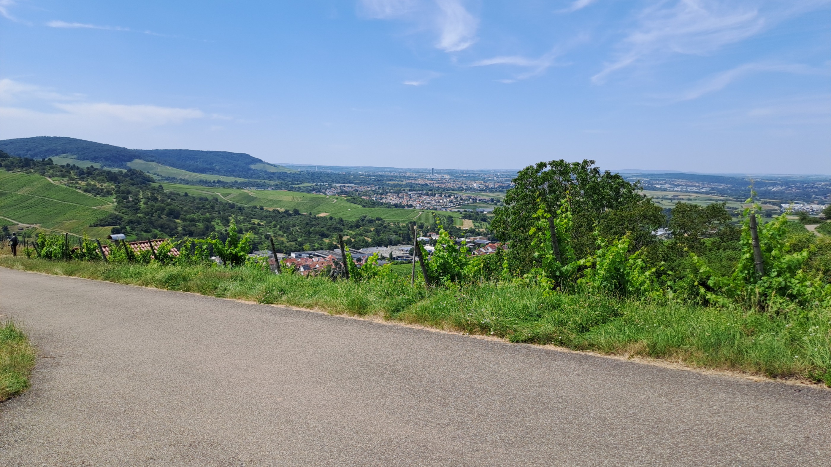
- Weinstadt-Endersbach, Baden-Wurttemberg, Germany
track uploaded with updater tool
Track
20 km39 %Quiet road
10.8 km21 %Paved
45.2 km(88 %)Unpaved
1.5 km(3 %)Asphalt
39 km76 %Concrete
5.1 km10 %


Free trial for 3 days, or one-time payment. More about Bikemap Premium.
Discover more Premium features.
Get Bikemap PremiumOpen it in the app