

Mansfield to Buller climb
A cycling route starting in Mansfield, Victoria, Australia.
Overview
About this route
So you just watched the latest tour and you want to challenge yourself a bit more than the Beach Rd ride. This is a perfect ride to get you out of your comfort zone without being too crazy. It's 47km from the quiet country town of Mansfield to the top of Buller. The last 16km will give you the challenge you have been looking for. Be sure to leave something left in the tank to get you back to Mansfield. The climb rises 921 vertical metres up the Mt Buller Tourest road and will test your resolve from the very start. It has an average gradient of 6%, but kicks up to 13% in the steepest sections. After a tough climb up, you get to enjoy stunning views of the surrounding high country. Be sure to stop off at the village hotel and grab a bite to eat before you take on the super fast decent. You'll love not peddling for 16km.
- -:--
- Duration
- 47.2 km
- Distance
- 1,376 m
- Ascent
- 148 m
- Descent
- ---
- Avg. speed
- ---
- Max. altitude
Route quality
Waytypes & surfaces along the route
Waytypes
Path
1.4 km
(3 %)
Access road
0.9 km
(2 %)
Undefined
44.9 km
(95 %)
Surfaces
Paved
45.3 km
(96 %)
Unpaved
0.9 km
(2 %)
Asphalt
32.6 km
(69 %)
Paved (undefined)
12.7 km
(27 %)
Continue with Bikemap
Use, edit, or download this cycling route
You would like to ride Mansfield to Buller climb or customize it for your own trip? Here is what you can do with this Bikemap route:
Free features
- Save this route as favorite or in collections
- Copy & plan your own version of this route
- Sync your route with Garmin or Wahoo
Premium features
Free trial for 3 days, or one-time payment. More about Bikemap Premium.
- Navigate this route on iOS & Android
- Export a GPX / KML file of this route
- Create your custom printout (try it for free)
- Download this route for offline navigation
Discover more Premium features.
Get Bikemap PremiumFrom our community
Other popular routes starting in Mansfield
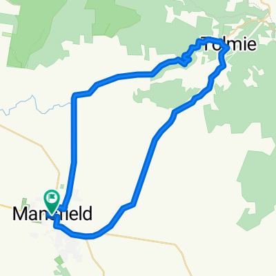
 Mansfield Barwite Tolmie Mansfield Loop
- Distance
- 47.3 km
- Ascent
- 647 m
- Descent
- 648 m
- Location
- Mansfield, Victoria, Australia
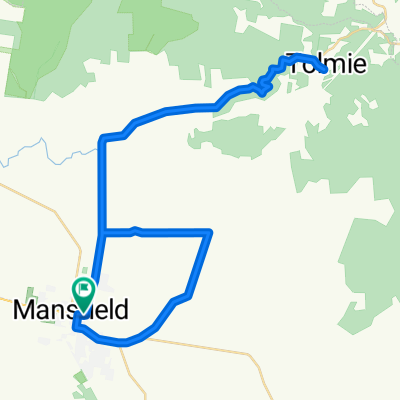
 Mansfield - Tolmie loop
- Distance
- 49.1 km
- Ascent
- 648 m
- Descent
- 647 m
- Location
- Mansfield, Victoria, Australia
 Mansfield south loop
- Distance
- 49.6 km
- Ascent
- 270 m
- Descent
- 267 m
- Location
- Mansfield, Victoria, Australia
 Day 2 - Leg 1b2c - Fat Tony , the Growler andYarck
- Distance
- 63.1 km
- Ascent
- 392 m
- Descent
- 500 m
- Location
- Mansfield, Victoria, Australia
 Mansfield to Kinglake
- Distance
- 136.4 km
- Ascent
- 1,005 m
- Descent
- 770 m
- Location
- Mansfield, Victoria, Australia
 Tolmie + Barwhite Loop
- Distance
- 61.5 km
- Ascent
- 578 m
- Descent
- 578 m
- Location
- Mansfield, Victoria, Australia
 Mansfield to Buller climb
- Distance
- 47.2 km
- Ascent
- 1,376 m
- Descent
- 148 m
- Location
- Mansfield, Victoria, Australia
 Barwite Loop
- Distance
- 20.8 km
- Ascent
- 193 m
- Descent
- 181 m
- Location
- Mansfield, Victoria, Australia
Open it in the app