
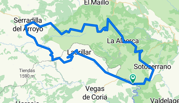
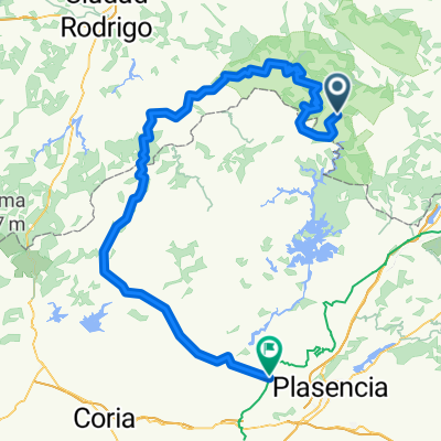
Riomalo - Monsagro - Paso de los Lobos - Sotoserrano - Riomalo
A cycling route starting in Herguijuela de la Sierra, Castille and León, Spain.
Overview
About this route
Etapa Sierra de Francia. Nivel medio-alto
- -:--
- Duration
- 104.6 km
- Distance
- 1,738 m
- Ascent
- 1,741 m
- Descent
- ---
- Avg. speed
- ---
- Max. altitude
Route quality
Waytypes & surfaces along the route
Waytypes
Busy road
57.5 km
(55 %)
Road
44.7 km
(43 %)
Surfaces
Paved
79.1 km
(76 %)
Asphalt
78.8 km
(75 %)
Concrete
0.2 km
(<1 %)
Undefined
25.5 km
(24 %)
Continue with Bikemap
Use, edit, or download this cycling route
You would like to ride Riomalo - Monsagro - Paso de los Lobos - Sotoserrano - Riomalo or customize it for your own trip? Here is what you can do with this Bikemap route:
Free features
- Save this route as favorite or in collections
- Copy & plan your own version of this route
- Split it into stages to create a multi-day tour
- Sync your route with Garmin or Wahoo
Premium features
Free trial for 3 days, or one-time payment. More about Bikemap Premium.
- Navigate this route on iOS & Android
- Export a GPX / KML file of this route
- Create your custom printout (try it for free)
- Download this route for offline navigation
Discover more Premium features.
Get Bikemap PremiumFrom our community
Other popular routes starting in Herguijuela de la Sierra
 RIOEMALO-CEPEDA-CRISTOBAL-HORCAJO-RIOMALO
- Distance
- 67.9 km
- Ascent
- 994 m
- Descent
- 990 m
- Location
- Herguijuela de la Sierra, Castille and León, Spain
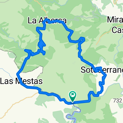 subida al portillo de las batuecas desde riomalo y bajada por sotoserrano
- Distance
- 48.7 km
- Ascent
- 919 m
- Descent
- 919 m
- Location
- Herguijuela de la Sierra, Castille and León, Spain
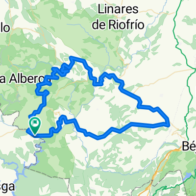 RIOMALO-REBOLLOSA-MONFORTE-SEQUEROS-GARCIBUEY-CRISTOBAL-VALDEHIJADEROS-RIOMALO-
- Distance
- 95.5 km
- Ascent
- 1,421 m
- Descent
- 1,422 m
- Location
- Herguijuela de la Sierra, Castille and León, Spain
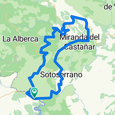 RIOMALO-REBOLLOSA-MONFORTE-SEQUEROS-GARCIBUEY-MIRANDA DEL CASTAÑAR-CEPEDA-SOTO-RIOMALO
- Distance
- 57.9 km
- Ascent
- 953 m
- Descent
- 955 m
- Location
- Herguijuela de la Sierra, Castille and León, Spain
 herguijuela-La alberca-monsagro-sierra de gata hasta carcaboso
- Distance
- 156.3 km
- Ascent
- 1,915 m
- Descent
- 2,326 m
- Location
- Herguijuela de la Sierra, Castille and León, Spain
 Rebollosa (87km)
- Distance
- 87 km
- Ascent
- 1,948 m
- Descent
- 1,871 m
- Location
- Herguijuela de la Sierra, Castille and León, Spain
 RIO MALO-CEPEDA-MIRANDA DEL CASTAÑAR-HORCAJO DE MONTEMAYOR
- Distance
- 66.9 km
- Ascent
- 1,003 m
- Descent
- 1,000 m
- Location
- Herguijuela de la Sierra, Castille and León, Spain
 RIOMALO-CEPEDA-VILLANUEVA DEL CONDE-GARCIBUEY-CRISTOBAL-HORCAJO-RIOMALO
- Distance
- 77.4 km
- Ascent
- 1,106 m
- Descent
- 1,103 m
- Location
- Herguijuela de la Sierra, Castille and León, Spain
Open it in the app