Linkselbische TĂ€ler
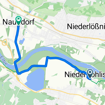
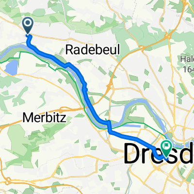
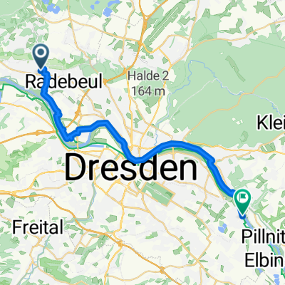
A cycling route starting in Radebeul, Saxony, Germany.
Overview
About this route
Hier ist die Tour ohne An- und Abreise.
FĂŒr alle zum nachfahren
- -:--
- Duration
- 32.2 km
- Distance
- 633 m
- Ascent
- 659 m
- Descent
- ---
- Avg. speed
- ---
- Max. altitude
Continue with Bikemap
Use, edit, or download this cycling route
You would like to ride Linkselbische TĂ€ler or customize it for your own trip? Here is what you can do with this Bikemap route:
Free features
- Save this route as favorite or in collections
- Copy & plan your own version of this route
- Sync your route with Garmin or Wahoo
Premium features
Free trial for 3 days, or one-time payment. More about Bikemap Premium.
- Navigate this route on iOS & Android
- Export a GPX / KML file of this route
- Create your custom printout (try it for free)
- Download this route for offline navigation
Discover more Premium features.
Get Bikemap PremiumFrom our community
Other popular routes starting in Radebeul
- An der Festwiese 1, Radebeul nach UferstraĂe 10, Radebeul
- Distance
- 47.3 km
- Ascent
- 85 m
- Descent
- 92 m
- Location
- Radebeul, Saxony, Germany
- Briesnitz Dörfertour
- Distance
- 58.8 km
- Ascent
- 549 m
- Descent
- 451 m
- Location
- Radebeul, Saxony, Germany
- Radebeul-BĂ€rwalde-Volkersdorf-Radebeul
- Distance
- 35.3 km
- Ascent
- 188 m
- Descent
- 188 m
- Location
- Radebeul, Saxony, Germany
- Reichenberg-Kalkreuth
- Distance
- 41.2 km
- Ascent
- 133 m
- Descent
- 158 m
- Location
- Radebeul, Saxony, Germany
- Linkselbische TĂ€ler
- Distance
- 32.2 km
- Ascent
- 633 m
- Descent
- 659 m
- Location
- Radebeul, Saxony, Germany
- Schnelle Feierabend Runde
- Distance
- 46.1 km
- Ascent
- 305 m
- Descent
- 308 m
- Location
- Radebeul, Saxony, Germany
- Moritzburger Forst
- Distance
- 43.3 km
- Ascent
- 250 m
- Descent
- 253 m
- Location
- Radebeul, Saxony, Germany
- Radebeul - RĂŒndchen Friedewald - Dippelsdorf - Moritzburg - BĂ€rnsdorf - Volkersdorf - Altklotsche - Hellerau - RĂ€hnitz - Wilschdorf - Boxdorf und zurĂŒck 2023
- Distance
- 39 km
- Ascent
- 553 m
- Descent
- 550 m
- Location
- Radebeul, Saxony, Germany
Open it in the app