

Radtour von/nach Kiskunmajsa-Fürdö
A cycling route starting in Kiskunmajsa, Bács-Kiskun county, Hungary.
Overview
About this route
Quiet circular cycling route, but with a longer search for the Bodoglar Nature Park where the endemic perennial carnation is found
- -:--
- Duration
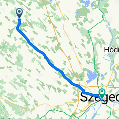
- 55.1 km
- Distance
- 50 m
- Ascent
- 52 m
- Descent
- ---
- Avg. speed
- ---
- Max. altitude

Route quality
Waytypes & surfaces along the route
Waytypes
Quiet road
13.8 km
(25 %)
Cycleway
9.4 km
(17 %)
Surfaces
Paved
36.3 km
(66 %)
Unpaved
0.6 km
(1 %)
Asphalt
34.7 km
(63 %)
Wood
1.7 km
(3 %)
Continue with Bikemap
Use, edit, or download this cycling route
You would like to ride Radtour von/nach Kiskunmajsa-Fürdö or customize it for your own trip? Here is what you can do with this Bikemap route:
Free features
- Save this route as favorite or in collections
- Copy & plan your own version of this route
- Sync your route with Garmin or Wahoo
Premium features
Free trial for 3 days, or one-time payment. More about Bikemap Premium.
- Navigate this route on iOS & Android
- Export a GPX / KML file of this route
- Create your custom printout (try it for free)
- Download this route for offline navigation
Discover more Premium features.
Get Bikemap PremiumFrom our community
Other popular routes starting in Kiskunmajsa
 Radtour von/nach Kiskunmajsa-Fürdö
- Distance
- 55.1 km
- Ascent
- 50 m
- Descent
- 52 m
- Location
- Kiskunmajsa, Bács-Kiskun county, Hungary
 Majsafürdő - Ópusztaszer
- Distance
- 34.2 km
- Ascent
- 16 m
- Descent
- 42 m
- Location
- Kiskunmajsa, Bács-Kiskun county, Hungary
 8. Etappe: Kiskunmajsa - Tiszakecske / 30.08.2011
- Distance
- 74.3 km
- Ascent
- 27 m
- Descent
- 48 m
- Location
- Kiskunmajsa, Bács-Kiskun county, Hungary
 Majsafürdő - Bugac
- Distance
- 25.4 km
- Ascent
- 19 m
- Descent
- 15 m
- Location
- Kiskunmajsa, Bács-Kiskun county, Hungary
 Kiskunmajsa - Szeged
- Distance
- 48.8 km
- Ascent
- 14 m
- Descent
- 37 m
- Location
- Kiskunmajsa, Bács-Kiskun county, Hungary
 Nyári kaland
- Distance
- 2,077.7 km
- Ascent
- 2,134 m
- Descent
- 2,151 m
- Location
- Kiskunmajsa, Bács-Kiskun county, Hungary
 Félegyházi út 18a, Kiskunmajsa - Kiskunmajsa, termálfürdő
- Distance
- 21.7 km
- Ascent
- 56 m
- Descent
- 54 m
- Location
- Kiskunmajsa, Bács-Kiskun county, Hungary
 2.nap_Kkmajsa-BugacKkmajsa_71km
- Distance
- 70.9 km
- Ascent
- 39 m
- Descent
- 39 m
- Location
- Kiskunmajsa, Bács-Kiskun county, Hungary
Open it in the app