
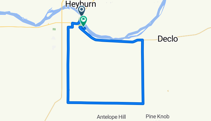
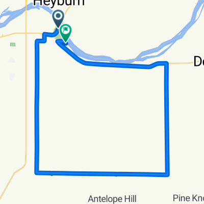
spud man burley
A cycling route starting in Heyburn, Idaho, United States of America.
Overview
About this route
Loop for triathlon.
- -:--
- Duration
- 39.9 km
- Distance
- 63 m
- Ascent
- 56 m
- Descent
- ---
- Avg. speed
- ---
- Max. altitude

Route quality
Waytypes & surfaces along the route
Waytypes
Quiet road
24.4 km
(61 %)
Busy road
10.9 km
(27 %)
Surfaces
Paved
6.2 km
(16 %)
Asphalt
6.2 km
(16 %)
Undefined
33.7 km
(84 %)
Continue with Bikemap
Use, edit, or download this cycling route
You would like to ride spud man burley or customize it for your own trip? Here is what you can do with this Bikemap route:
Free features
- Save this route as favorite or in collections
- Copy & plan your own version of this route
- Sync your route with Garmin or Wahoo
Premium features
Free trial for 3 days, or one-time payment. More about Bikemap Premium.
- Navigate this route on iOS & Android
- Export a GPX / KML file of this route
- Create your custom printout (try it for free)
- Download this route for offline navigation
Discover more Premium features.
Get Bikemap PremiumFrom our community
Other popular routes starting in Heyburn
 Feedlot
- Distance
- 55.6 km
- Ascent
- 196 m
- Descent
- 195 m
- Location
- Heyburn, Idaho, United States of America
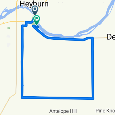
 Spudman
- Distance
- 39.7 km
- Ascent
- 54 m
- Descent
- 48 m
- Location
- Heyburn, Idaho, United States of America
 spud man burley
- Distance
- 39.9 km
- Ascent
- 63 m
- Descent
- 56 m
- Location
- Heyburn, Idaho, United States of America
 Recovered Route
- Distance
- 4.2 km
- Ascent
- 5,065 m
- Descent
- 6,332 m
- Location
- Heyburn, Idaho, United States of America
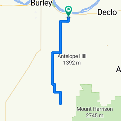
 Route from 131 E Highway 81, Burley
- Distance
- 39.3 km
- Ascent
- 296 m
- Descent
- 293 m
- Location
- Heyburn, Idaho, United States of America
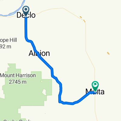 Declo to Malta via Connor Creek
- Distance
- 43 km
- Ascent
- 511 m
- Descent
- 422 m
- Location
- Heyburn, Idaho, United States of America
Open it in the app