

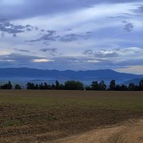
BC2014 SLOWACKI RAJ (Pila-Dedinky-Grajnar) - 1 ??
A cycling route starting in Spišská Nová Ves, Košice Region, Slovakia.
Overview
About this route
?
- -:--
- Duration
- 78 km
- Distance
- 1,167 m
- Ascent
- 1,169 m
- Descent
- ---
- Avg. speed
- ---
- Max. altitude

Route quality
Waytypes & surfaces along the route
Waytypes
Road
29.7 km
(38 %)
Quiet road
1.6 km
(2 %)
Surfaces
Paved
45.3 km
(58 %)
Asphalt
45.3 km
(58 %)
Undefined
32.8 km
(42 %)
Route highlights
Points of interest along the route
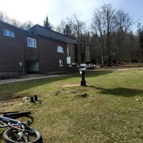
Point of interest after 18.2 km
Sedlo Kopanec (987 m n. m.)
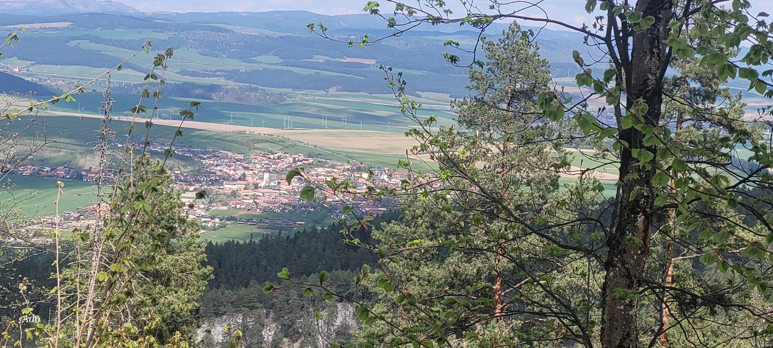
Point of interest after 46 km
przełęcz Sedlo Grajnar 1023 m n.p.m. Przełęcz jest ważnym węzłem znakowanych szlaków turystycznych. W otoczeniu przełęczy znajdują się popularne trasy dla narciarzy biegowych.
Point of interest after 71.9 km
bar
Point of interest after 72.1 km
"Sport Bar Saris" - mecze w drodze powrotnej
Continue with Bikemap
Use, edit, or download this cycling route
You would like to ride BC2014 SLOWACKI RAJ (Pila-Dedinky-Grajnar) - 1 ?? or customize it for your own trip? Here is what you can do with this Bikemap route:
Free features
- Save this route as favorite or in collections
- Copy & plan your own version of this route
- Sync your route with Garmin or Wahoo
Premium features
Free trial for 3 days, or one-time payment. More about Bikemap Premium.
- Navigate this route on iOS & Android
- Export a GPX / KML file of this route
- Create your custom printout (try it for free)
- Download this route for offline navigation
Discover more Premium features.
Get Bikemap PremiumFrom our community
Other popular routes starting in Spišská Nová Ves
 Nábrežie Hornádu 14 Suchá Belá, Stratenská píla. do Nábrežie Hornádu 11
- Distance
- 70.2 km
- Ascent
- 992 m
- Descent
- 993 m
- Location
- Spišská Nová Ves, Košice Region, Slovakia
 Spišská Nová Ves- Klauzy Slovenský raj.
- Distance
- 36.5 km
- Ascent
- 801 m
- Descent
- 862 m
- Location
- Spišská Nová Ves, Košice Region, Slovakia
 SPišská N.Ves. Markušovce-Teplička -SNV
- Distance
- 30.1 km
- Ascent
- 352 m
- Descent
- 357 m
- Location
- Spišská Nová Ves, Košice Region, Slovakia
 Vrchol Šibeník
- Distance
- 44 km
- Ascent
- 597 m
- Descent
- 598 m
- Location
- Spišská Nová Ves, Košice Region, Slovakia
 7 Na Spišský salaš cez Levočské vrchy
- Distance
- 68.1 km
- Ascent
- 954 m
- Descent
- 954 m
- Location
- Spišská Nová Ves, Košice Region, Slovakia
 Route to Nábrežie Hornádu 12, 052 01 Spišská Nová Ves
- Distance
- 52 km
- Ascent
- 1,509 m
- Descent
- 1,510 m
- Location
- Spišská Nová Ves, Košice Region, Slovakia
 Suchá Belá v Slovenském ráji
- Distance
- 15.6 km
- Ascent
- 560 m
- Descent
- 559 m
- Location
- Spišská Nová Ves, Košice Region, Slovakia
 Spišská Nová Ves - Glac Malá poľana.
- Distance
- 46.4 km
- Ascent
- 766 m
- Descent
- 757 m
- Location
- Spišská Nová Ves, Košice Region, Slovakia
Open it in the app