3-Tag
- 44.7 km
- 221 m
- 236 m
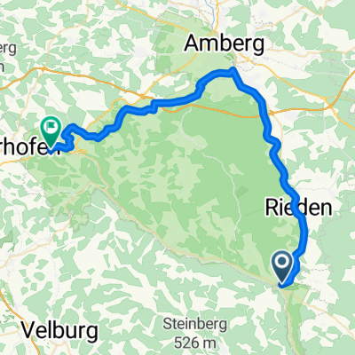
- Schmidmühlen, Bavaria, Germany
A cycling route starting in Schmidmühlen, Bavaria, Germany.
Overview
must still be tested
created this 11 years ago
Route quality
Track
33.9 km
(57 %)
Quiet road
10.7 km
(18 %)
Paved
30.3 km
(51 %)
Unpaved
26.2 km
(44 %)
Asphalt
28.5 km
(48 %)
Gravel
11.3 km
(19 %)
Continue with Bikemap
You would like to ride Wacholderweg or customize it for your own trip? Here is what you can do with this Bikemap route:
Free trial for 3 days, or one-time payment. More about Bikemap Premium.
Discover more Premium features.
Get Bikemap PremiumFrom our community
Open it in the app