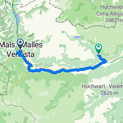
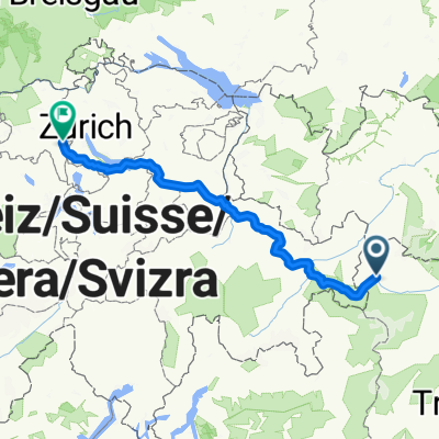
Mals - Marling
- 63 km
- 261 m
- 969 m
- Mals, Trentino-Alto Adige, Italy
A cycling route starting in Mals, Trentino-Alto Adige, Italy.
Overview
The route initially goes along the slope above the town of MALS, then swings onto a road leading to the village of Planol. At the moment we see the church of the village of Planol, we take a gravel path to the right, through a beautiful valley. Upon reaching the village of Planol, we descend via a mountain road and cycle path to Lake Resia. Slightly ascending on a road, then on gravel and again on a steeper road, we reach the Rola chalet. From here we descend gently, and shortly after, we climb up under the upper part of the ski slope. From there follows a beautiful gravel descent to Lake Resia. From there, we descend along the cycle path back to Mals.
created this 16 years ago
Continue with Bikemap
You would like to ride Mals - Planol- Lago di Resia - Mals or customize it for your own trip? Here is what you can do with this Bikemap route:
Free trial for 3 days, or one-time payment. More about Bikemap Premium.
Discover more Premium features.
Get Bikemap PremiumFrom our community
Open it in the app