Gorges du Nan Combe Lavel
- 61 km
- 2,606 m
- 2,606 m
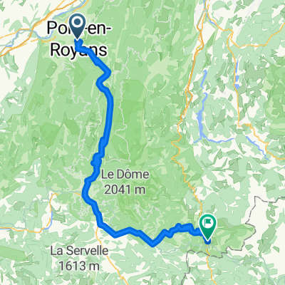
- Pont-en-Royans, Auvergne-Rhône-Alpes, France
A cycling route starting in Pont-en-Royans, Auvergne-Rhône-Alpes, France.
Overview
Gorges and passes
created this 11 years ago
Route quality
Road
2.8 km
3 %
Path
2.8 km
3 %
Paved
82.2 km
(87 %)
Asphalt
82.2 km
87 %
Undefined
12.3 km
13 %
Continue with Bikemap
You would like to ride Vercors par Pont sans Villard or customize it for your own trip? Here is what you can do with this Bikemap route:
Free trial for 3 days, or one-time payment. More about Bikemap Premium.
Discover more Premium features.
Get Bikemap PremiumFrom our community
Open it in the app