

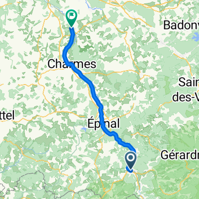
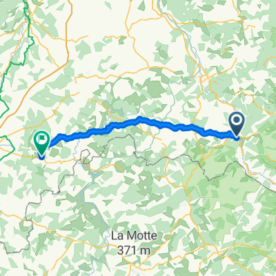
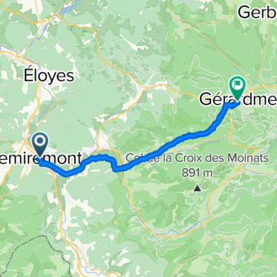
Vogezen 2013 dag 2 160 km
A cycling route starting in Remiremont, Grand Est, France.
Overview
About this route
heavenly stars day 2
- -:--
- Duration
- 167.5 km
- Distance
- 2,591 m
- Ascent
- 2,737 m
- Descent
- ---
- Avg. speed
- ---
- Max. altitude

Route quality
Waytypes & surfaces along the route
Waytypes
Road
35.2 km
(21 %)
Quiet road
21.8 km
(13 %)
Surfaces
Paved
100.5 km
(60 %)
Unpaved
3.3 km
(2 %)
Asphalt
100.5 km
(60 %)
Unpaved (undefined)
1.7 km
(1 %)
Continue with Bikemap
Use, edit, or download this cycling route
You would like to ride Vogezen 2013 dag 2 160 km or customize it for your own trip? Here is what you can do with this Bikemap route:
Free features
- Save this route as favorite or in collections
- Copy & plan your own version of this route
- Split it into stages to create a multi-day tour
- Sync your route with Garmin or Wahoo
Premium features
Free trial for 3 days, or one-time payment. More about Bikemap Premium.
- Navigate this route on iOS & Android
- Export a GPX / KML file of this route
- Create your custom printout (try it for free)
- Download this route for offline navigation
Discover more Premium features.
Get Bikemap PremiumFrom our community
Other popular routes starting in Remiremont
 Remiremont Gerardmer 72 km
- Distance
- 72.1 km
- Ascent
- 1,048 m
- Descent
- 1,051 m
- Location
- Remiremont, Grand Est, France
 Remiremont - Bayon
- Distance
- 71.5 km
- Ascent
- 303 m
- Descent
- 441 m
- Location
- Remiremont, Grand Est, France
 Faubourg d'Alsace, Remiremont nach Des Vosges aux Pyrenees, Bourbonne-les-Bains
- Distance
- 82.8 km
- Ascent
- 1,136 m
- Descent
- 1,268 m
- Location
- Remiremont, Grand Est, France
 Remiremont geradmer
- Distance
- 25.8 km
- Ascent
- 519 m
- Descent
- 234 m
- Location
- Remiremont, Grand Est, France
 chrono saint etienne col de raon arches eloyes la suche saint étienne
- Distance
- 38.4 km
- Ascent
- 286 m
- Descent
- 289 m
- Location
- Remiremont, Grand Est, France
 Vogezen 2013 dag 2 160 km
- Distance
- 167.5 km
- Ascent
- 2,591 m
- Descent
- 2,737 m
- Location
- Remiremont, Grand Est, France
 21 Selestad
- Distance
- 104.4 km
- Ascent
- 1,114 m
- Descent
- 1,343 m
- Location
- Remiremont, Grand Est, France
 0012 to Colmar
- Distance
- 82.1 km
- Ascent
- 811 m
- Descent
- 1,002 m
- Location
- Remiremont, Grand Est, France
Open it in the app