

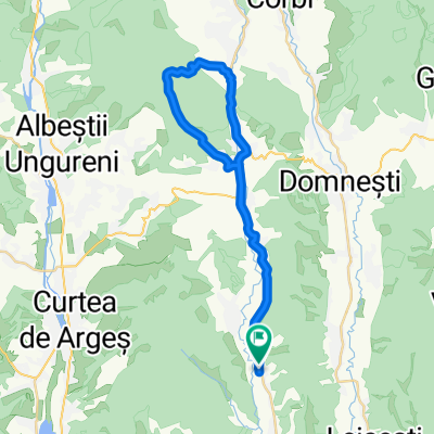
stroiesti test
A cycling route starting in Stroești, Arges, Romania.
Overview
About this route
Tour N Stroiesti asphalt, some climbing
- -:--
- Duration
- 68.6 km
- Distance
- 580 m
- Ascent
- 578 m
- Descent
- ---
- Avg. speed
- ---
- Max. altitude
Route quality
Waytypes & surfaces along the route
Waytypes
Quiet road
7.5 km
(11 %)
Road
6.2 km
(9 %)
Undefined
54.9 km
(80 %)
Surfaces
Paved
60.4 km
(88 %)
Unpaved
8.9 km
(13 %)
Asphalt
60.4 km
(88 %)
Gravel
7.5 km
(11 %)
Continue with Bikemap
Use, edit, or download this cycling route
You would like to ride stroiesti test or customize it for your own trip? Here is what you can do with this Bikemap route:
Free features
- Save this route as favorite or in collections
- Copy & plan your own version of this route
- Sync your route with Garmin or Wahoo
Premium features
Free trial for 3 days, or one-time payment. More about Bikemap Premium.
- Navigate this route on iOS & Android
- Export a GPX / KML file of this route
- Create your custom printout (try it for free)
- Download this route for offline navigation
Discover more Premium features.
Get Bikemap PremiumFrom our community
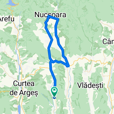
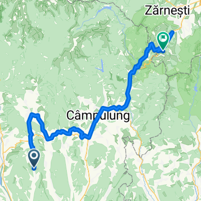
Other popular routes starting in Stroești
 stroest
- Distance
- 37.5 km
- Ascent
- 422 m
- Descent
- 423 m
- Location
- Stroești, Arges, Romania
 stroiesti test
- Distance
- 68.6 km
- Ascent
- 580 m
- Descent
- 578 m
- Location
- Stroești, Arges, Romania
 DC218, Costești-Vâlsan to DC218, Costești-Vâlsan
- Distance
- 110.4 km
- Ascent
- 2,545 m
- Descent
- 2,545 m
- Location
- Stroești, Arges, Romania
 STROIESTI-AG
- Distance
- 61.7 km
- Ascent
- 327 m
- Descent
- 325 m
- Location
- Stroești, Arges, Romania
 Costești Valsan - Poienile Valsanului
- Distance
- 31.5 km
- Ascent
- 837 m
- Descent
- 412 m
- Location
- Stroești, Arges, Romania
 RDM-STMD2
- Distance
- 119.4 km
- Ascent
- 1,942 m
- Descent
- 1,082 m
- Location
- Stroești, Arges, Romania
 ScoutingStroiesti
- Distance
- 59.9 km
- Ascent
- 653 m
- Descent
- 664 m
- Location
- Stroești, Arges, Romania
Open it in the app